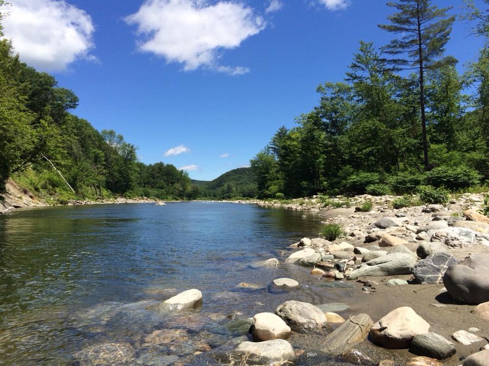
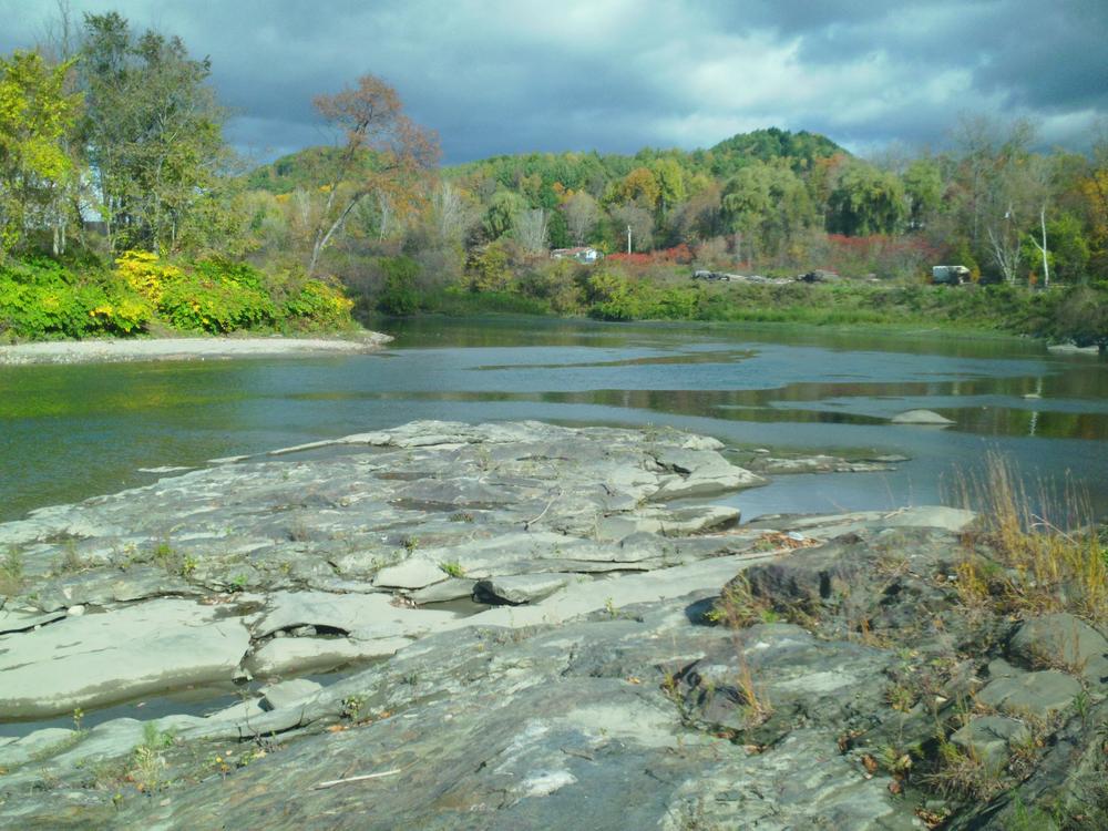
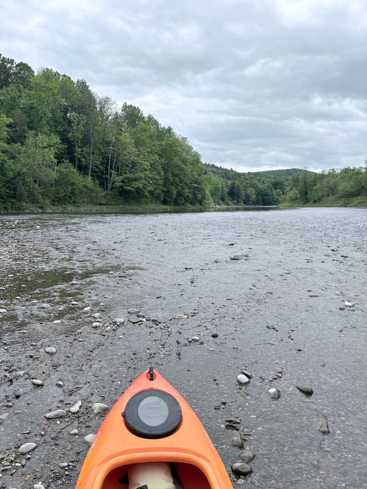
The White River travels from the eastern flank of the Green Mountains to the Connecticut River. The upper White River features mountain vistas and some steep gradients. As the river flows generally east, there is a mix of rapids and slow water. Nearer to the Connecticut it becomes wider and is pleasant for tubing and swimming. The lower reaches of the river can be paddled throughout the summer, while the upper reaches can generally only be paddled in spring during and after snowmelt.
The White River Partnership has developed a Watershed Recreation Map and Guide that includes recommended day trips and interesting facts about the natural and cultural history of the White River. To find out more about paddling the White River and to support recreation and conservation along the river, please purchase the waterproof Map and Guide from the Partnership.
For your safety:
Use PFDs.All boats must carry an approved PFD for each person. State law requires children 12 years and under to wear PFDs at all times.
Be prepared for cold water. Wear your life jacket, stay fueled and hydrated, avoid cotton, pack extra clothes in a dry bag, and know the symptoms and treatment of hypothermia.
Be alert for strainers. Downed trees in the water can trap people and boats. They are most common in the White River and its tributaries upriver of South Royalton.
Know the location of rapids, dams and other hazards. There are no warning signs or buoys!
Be aware of river flows. The USGS posts real-time water flow data for Vermont here. Check the gauge nearest your trip before leaving. Avoid swimming holes during high water and after heavy rains!
Watch for poison ivy and poison parsnip. Know how to identify these plants. If you come in contact with them, clean exposed skin with medication as soon as possible.
The White River Partnership works with state and federal agencies, municipalities and other non-profits to steward the White River Water Trail. For more information, visit their website or contact:
White River PartnershipThere are multiple access points along this 58 mile section of the main branch of the White River. Refer to the trail map or the Watershed Recreation Map and Guide from the White River Partnership for detailed information.
Success! A new password has been emailed to you.
