This 1.6 mile loop trail on the hill above the river takes you through rich northern hardwoods, a young white pine and hemlock forest, and an old sheep pasture and has views of the nearby hills.
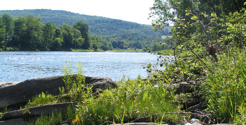
Nestled in the Central Vermont Piedmont region on the shores of the White River is a protected area containing several natural communities that are representative of the region, including floodplain forest and northern hardwood forest. A walk through the hills here can yield surprising views of the valley landscape and of unexpected species like the distinctive rattlesnake plantain orchid. A hydrological phenomenon known as ice shear creates ideal conditions for several rare plants along this portion of the White River. In winter, ice sheets build up on the stream. In spring, the ice breaks up and jagged chunks float downstream, scouring the shore, and removing woody shrubs and tree seedlings. Only hardy herbaceous plants and mosses survive this annual scouring.
Visit The Nature Conservancy in Vermont online for more information or contact Lynn McNamara, Critical Lands Manager for Northern VT:
The Nature Conservancy: Montpelier Office316 White River Ln, Pomfret, VT
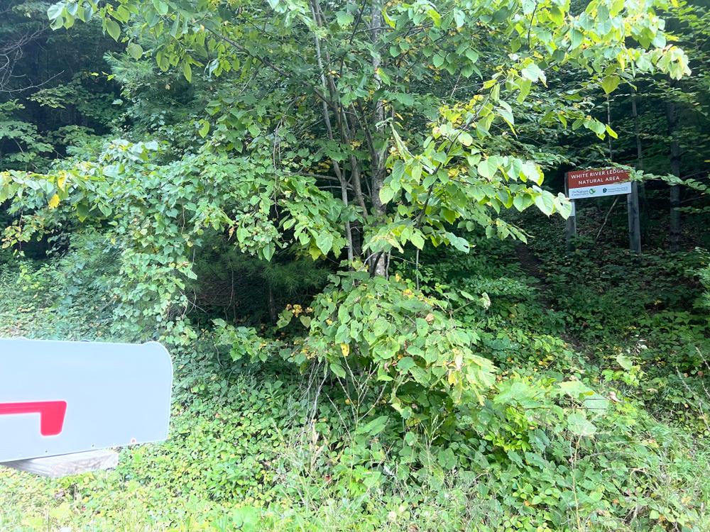
From I-89 take exit 2 for the town of Sharon. From the exit, head west on Rt. 132 for .5 miles then turn left/south on Route 14. Follow Rt. 14 for about five miles.. As you enter the village of West Hartford, take a right and cross the new bridge. After the crossing, make a sharp right onto Pomfret Road. Travel 1 mile and turn right onto White River Lane. Park at the pull-off just after the turn. You may not be able to see the trailhead sign from here. Just walk back to Pomfret Road toward the upland area and look up at the hill for the preserve sign.
Success! A new password has been emailed to you.
