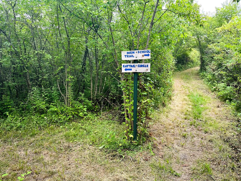
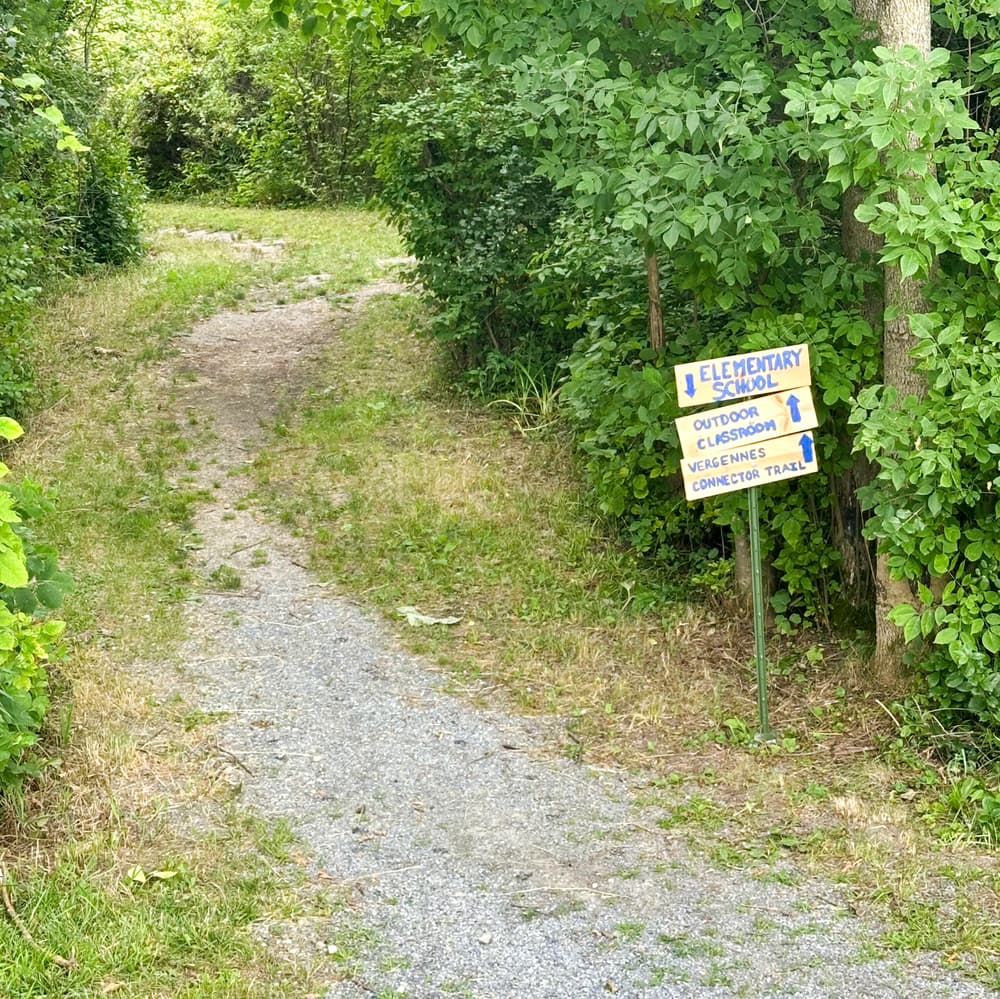
A network of trails connects the Elementary School to the High School.
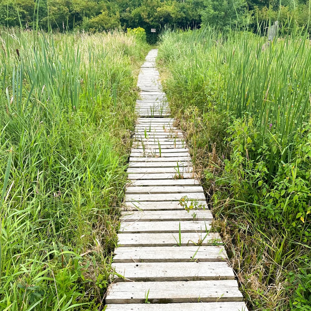
To the west, 0.7 miles of trails travel over mostly grassy surfaces through shubbery and boardwalks through wetlands.
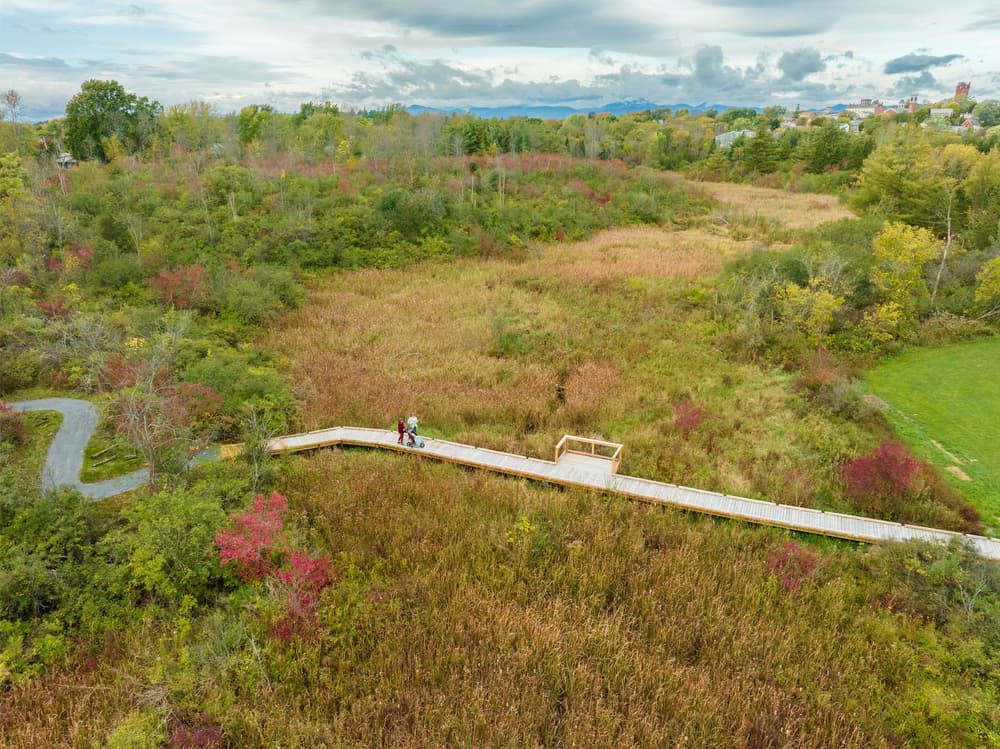
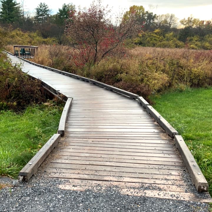
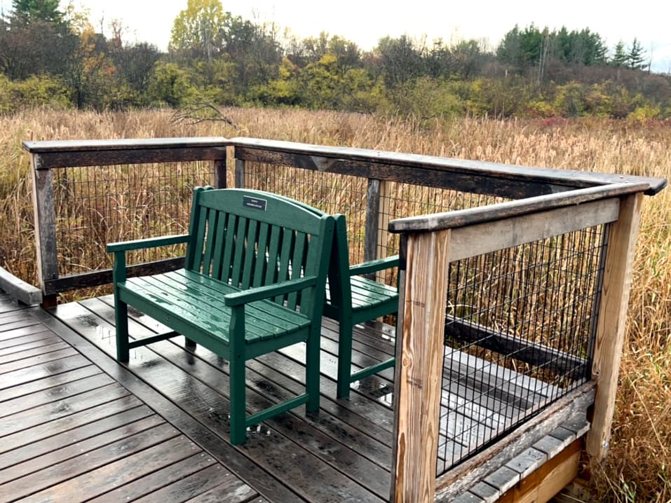
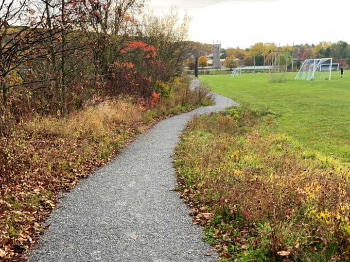
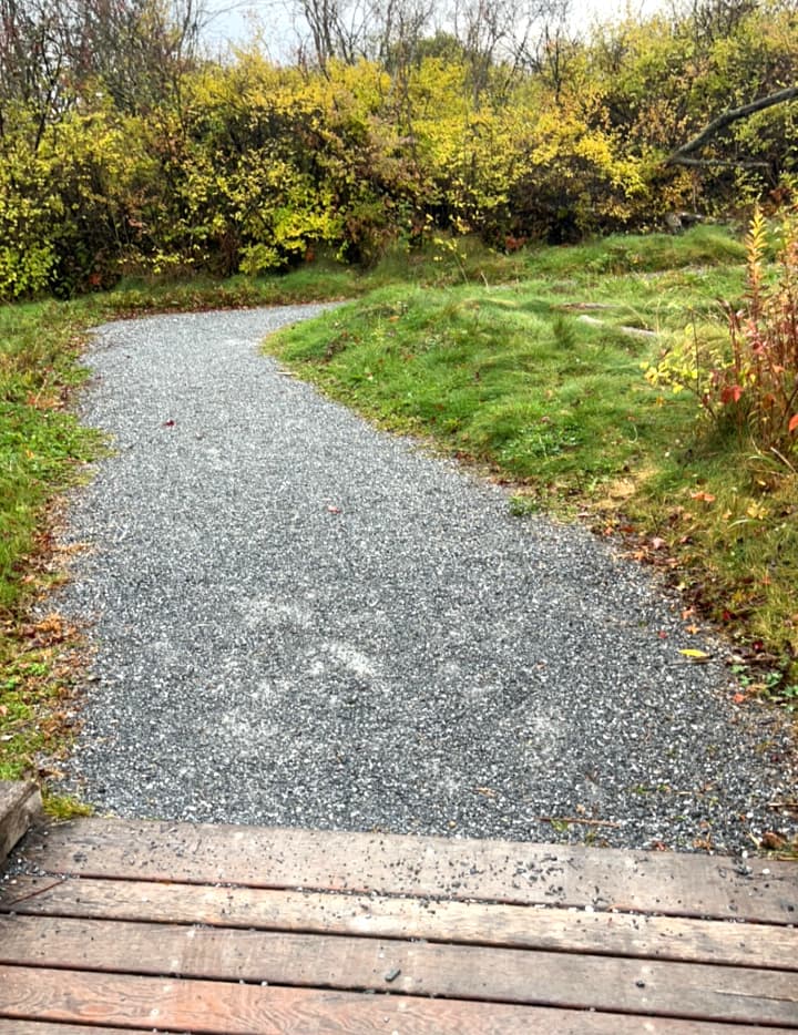
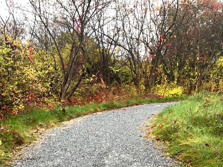
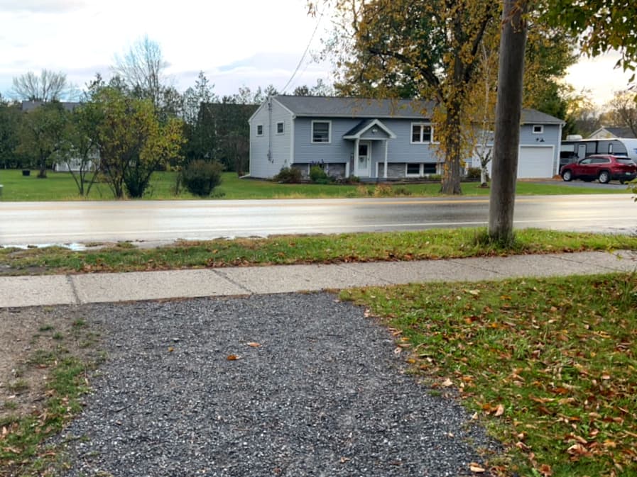
To the east, the 0.44 mile Vergennes Connector Trail connects the high school to New Haven Road on a mostly flat, gravel path. From the high school, the trail passes along the end of the school's ball field and past the high ropes course before traveling over wetlands and a stream on a 155-foot accessible boardwalk. Past the boardwalk, the trail continues through deciduous woods to New Haven Road. The packed stonedust trail is 5 feet wide with minimal cross slopes. Running slopes are typically 2-4% but a few short sections are 6-8%. See Trail Access Information & Considerations below for more details on these access(ible) experiences.
The Vergennes Connector Trail will eventually be a part of a five-mile walking path that will circumnavigate the city.
(Applies to the Connector Trail shown as an Accesss(ible) Experience in the trail map)
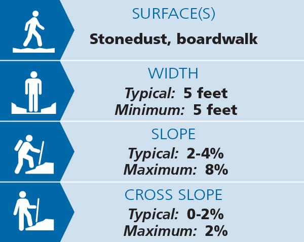
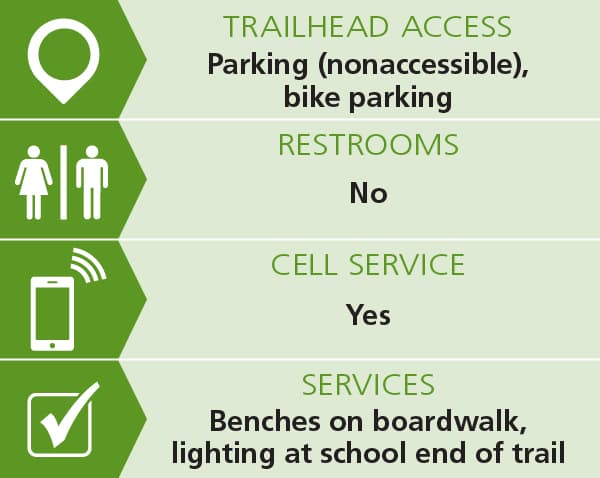
Trail conditions can change without warning. Trail last assessed: 10/20/2025
For additional information, visit the Vergennes Parks & Recreation website, or contact:
Vergennes Parks & RecreationHIGH SCHOOL TRAILHEAD
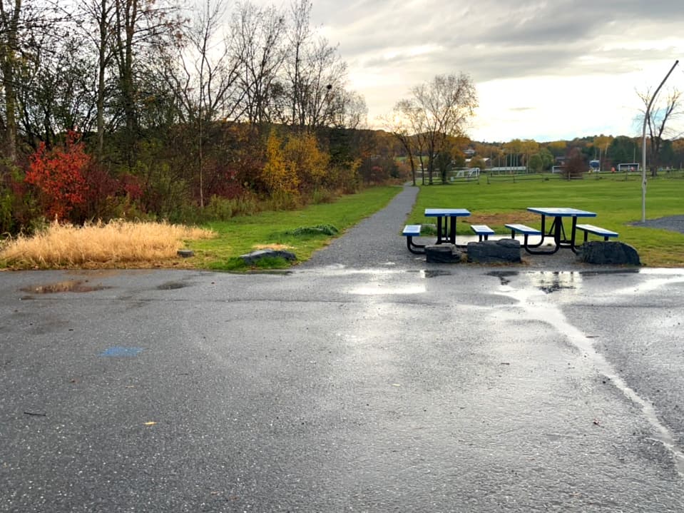
From Main Street (VT-22A) in the center of Vergennes, head north to Monkton Road. Go 0.3 miles to the second entrance to the high school, and continue to the second parking area next to the school. The trailhead is at the south end of this parking lot.
ELEMENTARY SCHOOL TRAILHEAD
From Main Street (VT-22A) in the center of Vergennes, head south on Green Street. Go 0.2 miles then bear left on New Haven Road. Go 300 feet and take a sharp left onto East Street, then another 300 feet to the elementary school on the right. The trailhead is behind the basketball courts and skate park; there is a paved path to the courts/park around the school from the parking lot.

Success! A new password has been emailed to you.