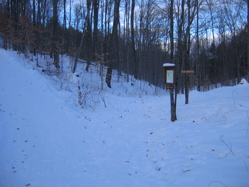
Trail arrows indicate a clockwise direction (recommended for skiers and bikers in particular)—head left around the parking lot from the kiosk. It climbs gently for the first mile until, at a trail map and short cut marker, it climbs steeply in two short sections. The trail loops around a vernal pool just past the height of land and then descends, meeting the other end of the shortcut mentioned. It winds for another half-mile while climbing gradually to the second height of land. The next half-mile is a series of nine turns descending through a narrow valley. The last mile of trail climbs yet again to a lesser height of land, although a short cut is available back to the parking lot from a posted trail map at this point. One last downhill corner at 2.75 miles is fairly steep with a sharp right turn as it levels out.
Although generously wide as mountain bike trail, there are some difficult water bars. With ever-changing snow conditions it is a challenging ski trail in winter.
Parcel 5 is one of a number of lands acquired in the Beaver Meadow watershed for the Norwich Fire District and is supervised by the Norwich Land Management Council. Hunting is allowed during all VT regular seasons.
For more information contact:
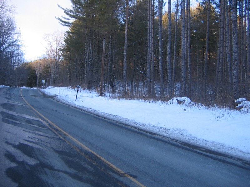
Norwich Trails CommitteeFrom Main Street in Norwich, turn left on Beaver Meadow Road. Follow for 2.5 miles, then turn right at a small sign "5" for the entry to the ample parking lot. A trail map with elevations is posted at a kiosk at the parking lot.
Success! A new password has been emailed to you.
