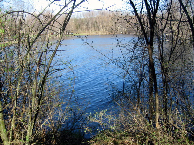
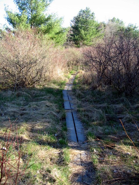
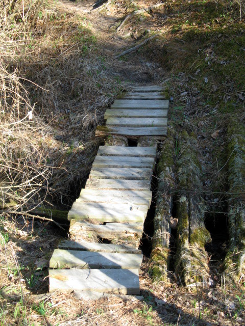
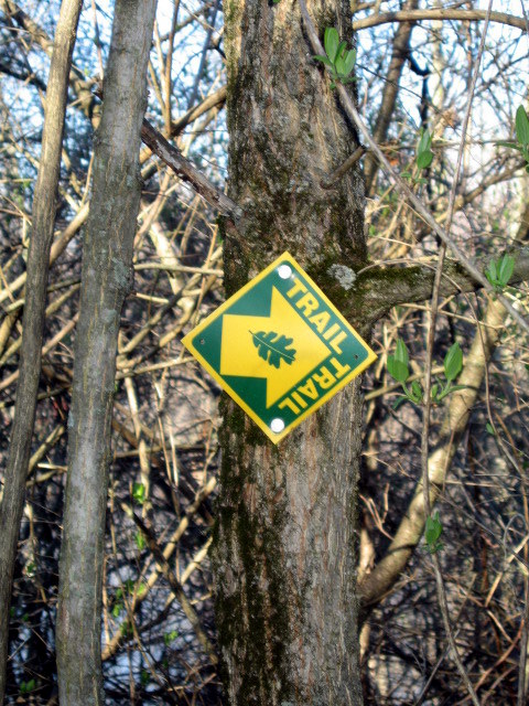
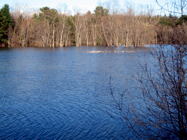
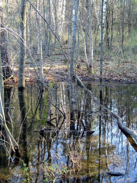
The 1-mile preserve trail keeps to the high ground on the west side of the river mouth. It traverses rare, valley clayplain forest that was recently farmed. The area’s early succession vegetation is dominated by stately white pines, some that would take at least two people to encircle with their arms, along with white ash and American elm. A mile along the path, away from the sound of traffic, the trail comes to a peaceful overlook. Cattail marsh, ideal habitat for red-winged blackbirds, gives way to open water, and then to the silhouettes of a dead stand of silver maples, drowned by beaver activity in the 1980’s.
Every acre counts in this rivershore natural area in Shelburne--an oasis of nature in an otherwise fragmented landscape. An important habitat for migratory waterfowl, this marsh complex is located at the end of the LaPlatte, a river that extends 16 miles from Lake Iroquois to Lake Champlain and drains 34,137 acres of Champlain lowlands. Nearly 150 acres in size, the marshes and floodplain forests are regularly flooded when the lake level rises and are inhabited by plant species that can endure these wet conditions. This ecosystem is essential to helping filter and clean the water that empties into our Lake and is part of our nature based solutions for water quality progress in Lake Champlain.
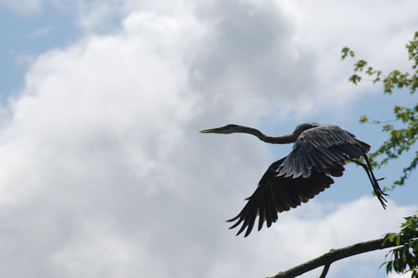
This preserve is a haven to sixty species of birds, twenty mammals including otter, mink and muskrat, and fifty species of reptiles, amphibians and fish. On the trail, you can expect to be surprised by ducks, kingfishers, or an occasional osprey and paddlers often spy blue herons.
Visit The Nature Conservancy in Vermont online for more information or contact Lynn McNamara, Critical Lands Manager for Northern VT:
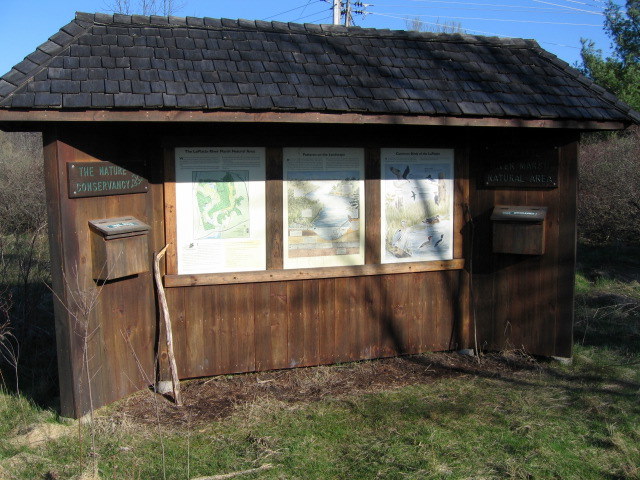
The Nature Conservancy: Montpelier OfficeFrom I-89 take exit 13 to I-189 to South Burlington and Rte. 7. Turn left (south) on Rte. 7 and go 3 miles. Turn right (west) on Bay Rd. (there’s a sign for Shelburne Farms). In about 1 mile, go under a railroad overpass and across a small bridge. Just past the Fish & Wildlife boat access area is a parking lot for the Shelburne Bay park. Please park here (not in the Fish & Wildlife lot) and walk back along the road to the trailhead. The natural area trail is across the road from the Fish and Wildlife access. Look for the Conservancy’s wooden sign.
Success! A new password has been emailed to you.
