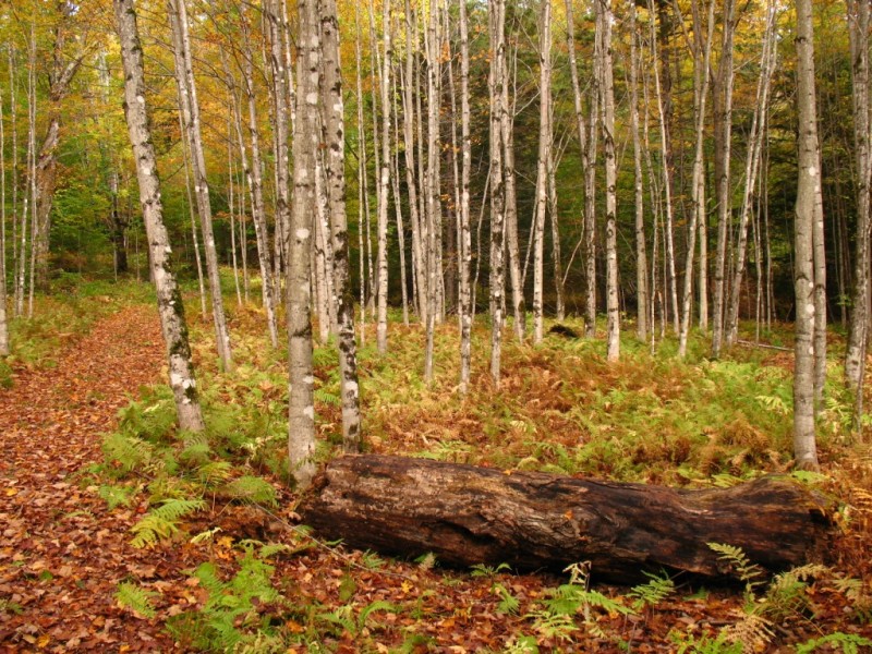
Stowe Land Trust acquired Kirchner Woods from the Gerard J. Kirchner estate. Gerard owned and managed the property from 1959 until his death in 2008. The largest portion of the property is a mature sugarbush, which was in active maple syrup production until the early 1990's. The property rises from 1200 feet above sea level at Taber Hill Road to a ridgeline at 1580 feet with distant views to the northwest of the Green Mountains. A network of woods roads provides access to interior portions of the property. Remnants of steel and plastic pipeline and dumping stations used for collecting maple sap, in addition to neatly stacked galvanized buckets can be found in many locations on the lower elevations of the property near the sugar house. Most of the property is northern hardwoods dominated by sugar maple, with some hemlock along the streams on the easterly side of the property and young red spruce at the higher elevations of the property.
This property is open to non-motorized recreation activities and contains 2+ miles of multi-use trails with gentle grades. Trails climb more steeply up to the Summit Loop. Hunting and trapping are prohibited. Kirchner Woods is accessible to the public from a parking area located on Taber Hill Road. Please be mindful of our neighbors when visiting the property and only use the trails from the parking area to access the property.
The following trails are considered Adaptive Friendly for adaptive mountain bikers:
Jerry's Trail - 0.24 miles, easy. Singletrack with beginner features and moderate terrain.
Lower Bucket Trail - 0.25 miles, moderate. Singletrack with intermediate features and steeper terrain. This trail includes roots, off-camber sections, and bridges that are 40+ inches.
Sugar House Loop - 0.32 miles, easy. Singletrack with beginner features and moderate terrain.
Upper Bucket Trail - 0.28 miles, moderate. Singletrack with intermediate features and steeper terrain. If riding this loop counter-clockwise, it is recommended to go back to the Sugar House Loop instead of the last section of singletrack as there are some more difficult obstacles to get around with an aMTB on the last section of singletrack.
For more information visit the Stowe Land Trust website or contact:
Stowe Land TrustFrom Stowe, head southeast on School Street for 0.3 miles. Take a slight left on Tabor Hill Road. Continue for 1.5 miles. The parking area will be on the left.

Success! A new password has been emailed to you.

 Adaptive Friendly aMTB trails are passable by all adaptive bikes and free of major hazards.