Mud season is here!Protect the trails we all love by sticking to open, dry areas. Learn more! 

John B. Folsom Conservation Land

This is the print view for this trail. View the full trail posting.

This large conservation property has many trails that are great for walking, bike riding, skiing, and snowshoeing. The land runs under the power line and along the rail trail system and Lamprey River. 
Trail Activity
Walking Hiking Mountain biking Snowshoeing Ungroomed cross-country skiing
Length
0.70 miles, Network
Difficulty
Easy
Town
Epping (NH)
Surface
Packed Earth/Dirt, Snow, Ungroomed
Pets
Permitted on leash
Fees
No

Description

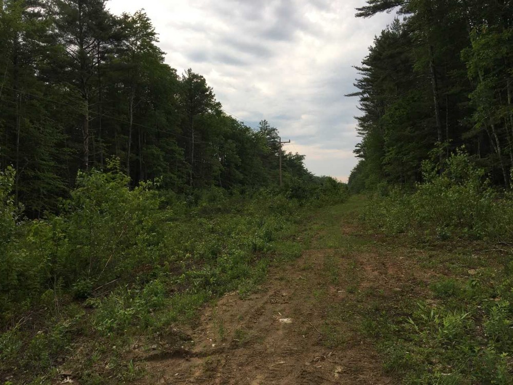
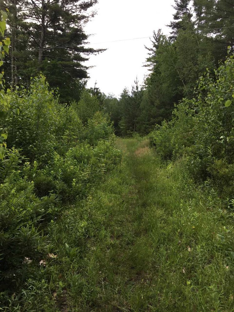
This property, slated for development, was turned over to the town in lieu of tax payments. It consists of about 22 acres with some riverfront and borders the state recreational trail system. As you start along the trail you will see a large number of red pine seedlings that were planted along the sides of what was the road in the proposed development. This trail goes around the property and eventually brings you to what was a railroad bed and is now the Rockingham Rail Trail. There is a nice view of the river here and you can access the river on the downstream side of the railroad bridge. 

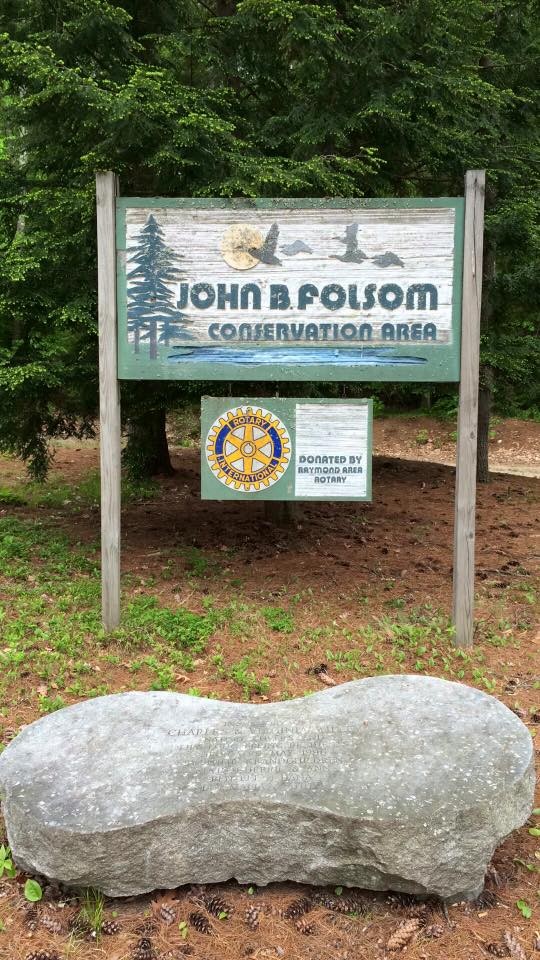
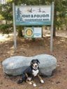
John B. Folsom is one of the founding fathers of Epping who once owned this land along with a large part of West Epping.

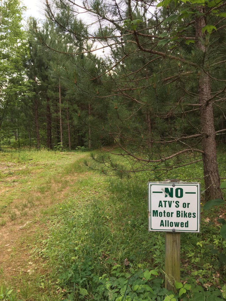
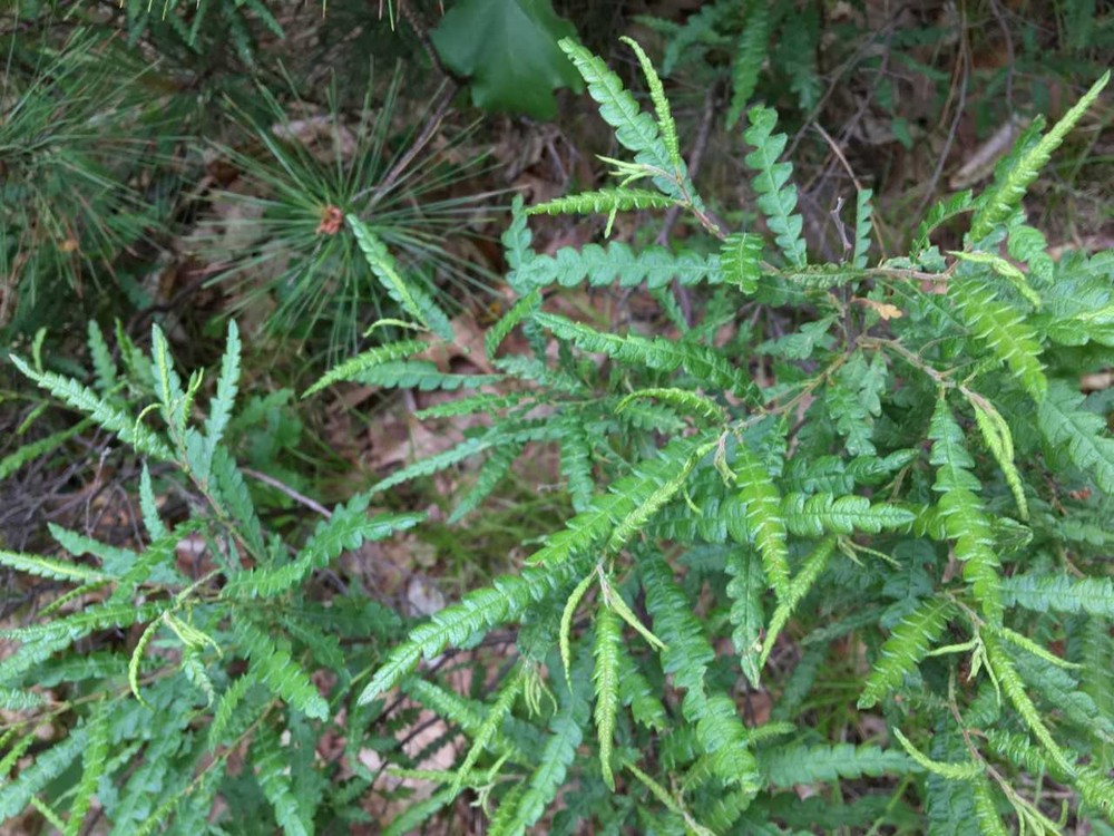
Good uses for this land include walking, ungroomed cross-country skiing, fishing, wildlife viewing, and mountain biking.

This location is carry in / carry out and is managed by the Epping Conservation Commission.

Trail Manager

For more information, visit the Epping Conservation Commission online, or contact:

Epping Conservation Commission
Town of Epping
Epping, New Hampshire 03042
eppingoutdoors@gmail.com
View website

Trail Tips

Build an Inclusive Outdoors
Be an active part of making the outdoors safe and welcoming for all identities and abilities.

Trailhead Information

Directions to John B. Folsom Conservation Land - Follow NH-27, heading toward Raymond. Turn left onto Joshua Lane, just after Ham Road on your right. Follow Joshua Lane to its end. There is a parking area and sign designating this conservation land for public use.

Legend
Hide All
Join In on the Fun!
Log in or create an account below to unlock all the great features of Trail Finder: keep track of trails you want to do, preserve memories of trails you’ve done, earn badges, and more!
Your log in attempt was not successful. Please try again.
    Lost your password? Reset your password
    Don't yet have an account?
    There was an issue with your submission. Please try again.
      * Indicates required field
      Already have an account? Login here
      Enter your username, and we will send you a new, randomly generated password to your email account.
      There was an issue with your submission. Please try again.

        Success! A new password has been emailed to you.

        Log in now

        Please wait…