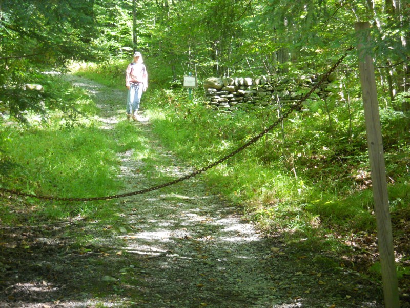
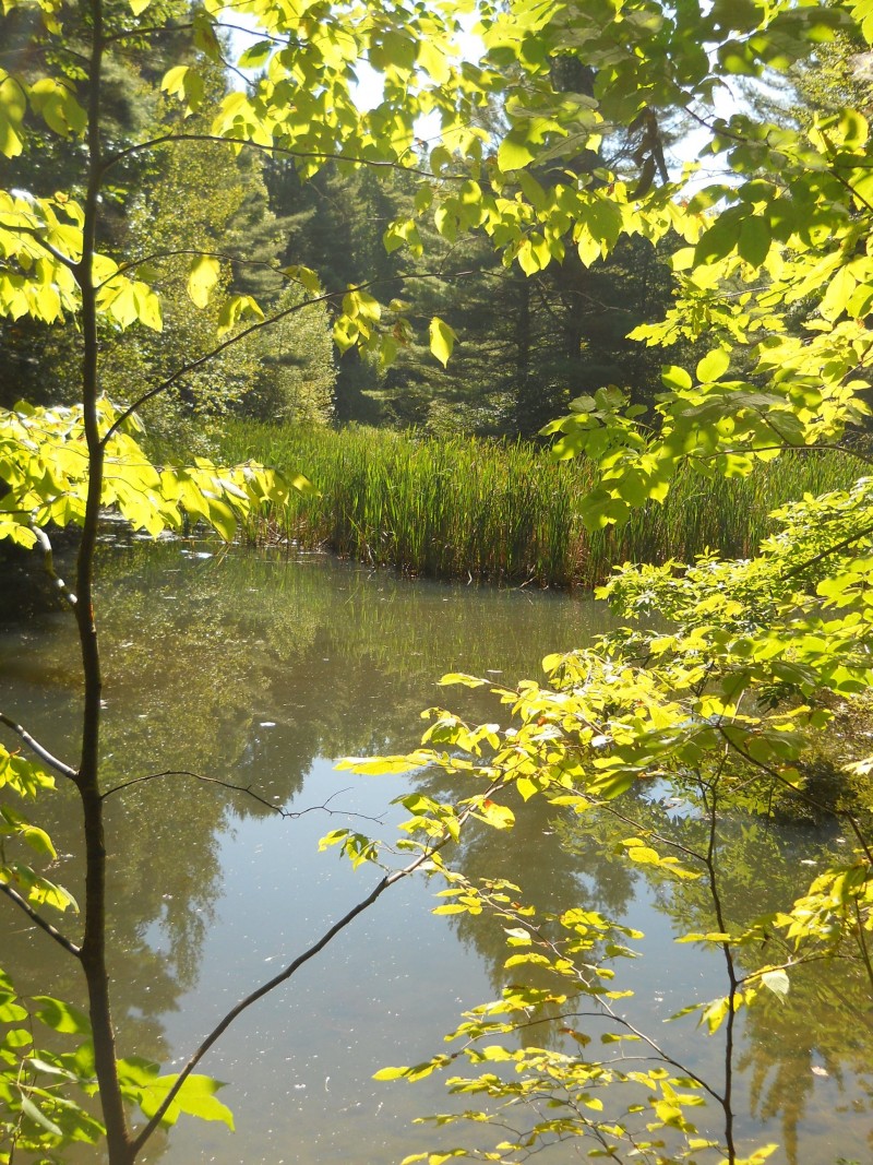
Foot trails through forests and hidden meadows and around wetlands. Sites include multiple cliffs, streams, and Gillespie Pond. The Gillespi/Copp-Welch Trails are part of the Hinesburg Area Recreational Trails system.
Visit Hinesburg Town Trails Committee online for more information and a printable map or contact:
Hinesburg Department of Buildings & FacilitiesThere are three ways to access the trails:
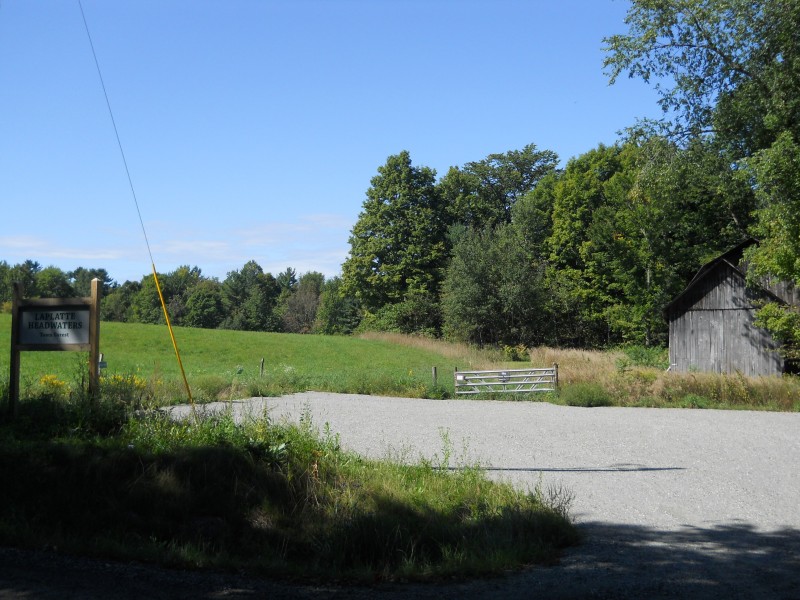
Upper Gilman Road Access: From Hinesburg Town Hall, go south on Route 116 for 1.5 miles. Turn right onto Gilman Rd for 1.3 miles. You can park in the field on the right, near the road. An improved parking area is planned for this access in the future.
Lower Gilman Road Access: From Hinesburg Town Hall, go south on Route 116 for 3.4 miles. Turn Right onto Hines Road. The road forks in 0.6 miles; bear left and continue for 0.2 miles; you will see a driveway on your right. There is no parking area but you can park along Gilman Road in such a way as to not obstruct traffic. Use the driveway on foot to access the trailhead. The driveway is a public right-of-way to these trails.
Lewis Creek Road Access: From Hinesburg Town Hall, go south on Route 116 for 0.1 miles. Bear right onto Silver Street for 2.8 miles. Turn Left onto Lewis Creek Road. Trail access is a small break in the woods on the left in about 0.4 miles. There is no parking area. In the winter there is no room at this trailhead. Other times you can pull one car into the trailhead area and perhaps park others along Lewis Creek Road. Do not obstruct normal traffic flow. Do not park in front of the mowed lawn of the house near the Lewis Creek Road access.
Success! A new password has been emailed to you.
