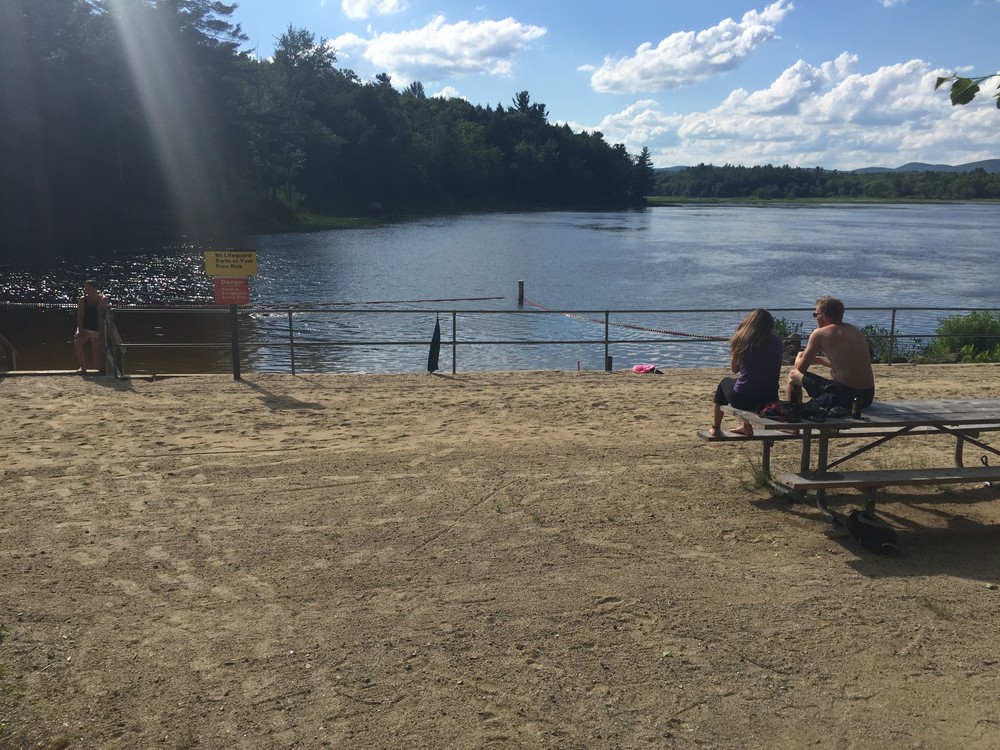
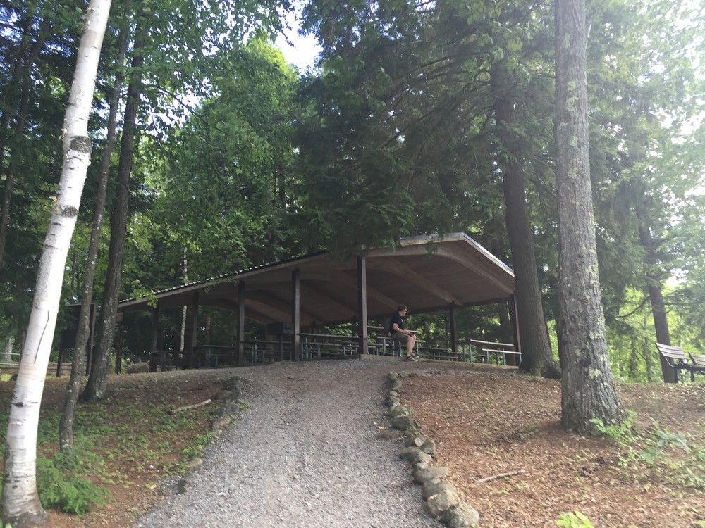
The Edward MaDowell Lake is made up of 1,198 acres of land maintained by the U.S. Army Corps of Engineers. On the southern end of the lake is the dam and the gatehouse, which were built by the Army Corps as part of a network of flood-control projects. The park offers a variety of recreational facilities for visitors including: a sandy beach, a boat launch, a sheltered picnic area, a playscape, horseshoe pits, and nature trails. The park's wetlands and forests create a highly-varied ecosystem that draws naturalists who can find animals ranging from mink, to turtles, to bald eagles, to bobcats.
There are many trails available at MacDowell Lake. The trails can be combined in a number of ways to create different loops or can be used at out-and-back trails.
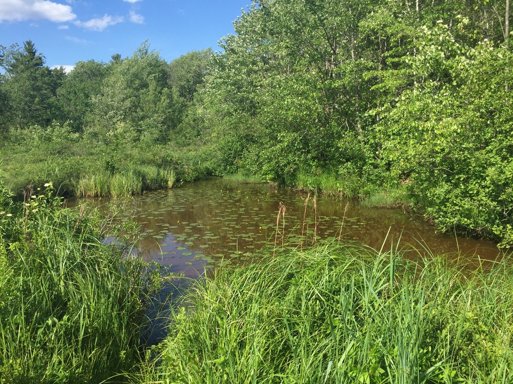
West Ridge Trail: The park's most challenging trail for distance and grade. This trail departs from the western side of the dam and skirts the western edge of the lake and climbs the short ridge that follows the lake. About halfway along the trail, the lake turns to marshland, which the trail also follows. The trail winds through forest for the entirety of the trail. Animals like moose, red fox, and deer make these woods their home, though sightings are not very common for many of them. The trail ends when it meets up with NH-137; from there visitors can turn around and head back the way they came, or follow NH-137 to Spring Road then to the Wetlands Trail and create a loop back to the trailhead.
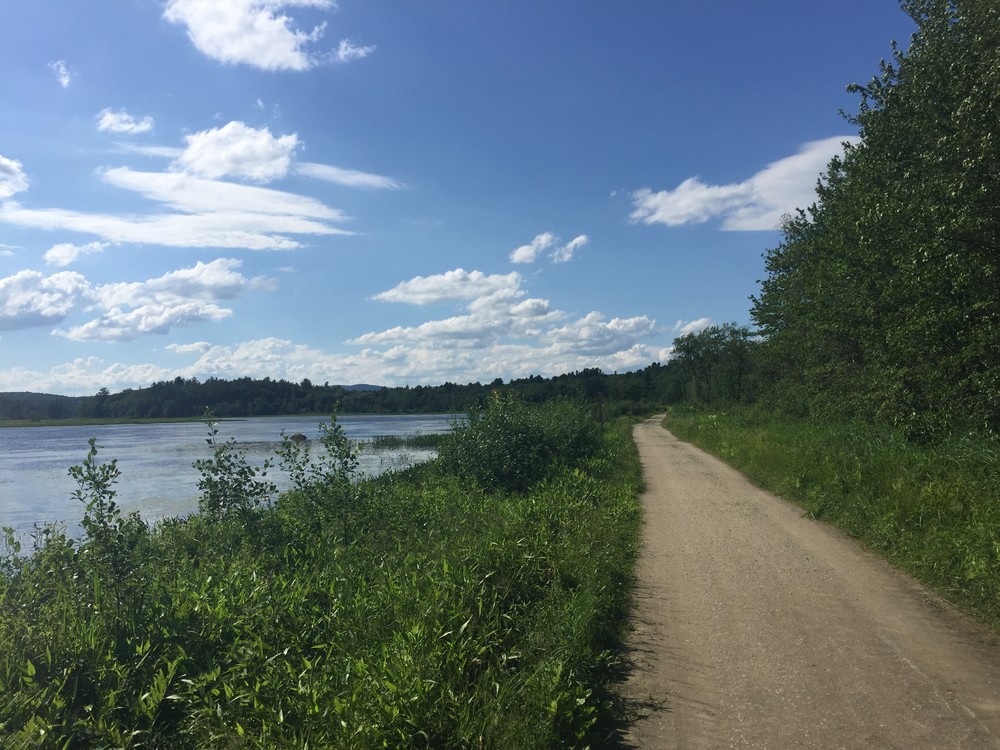
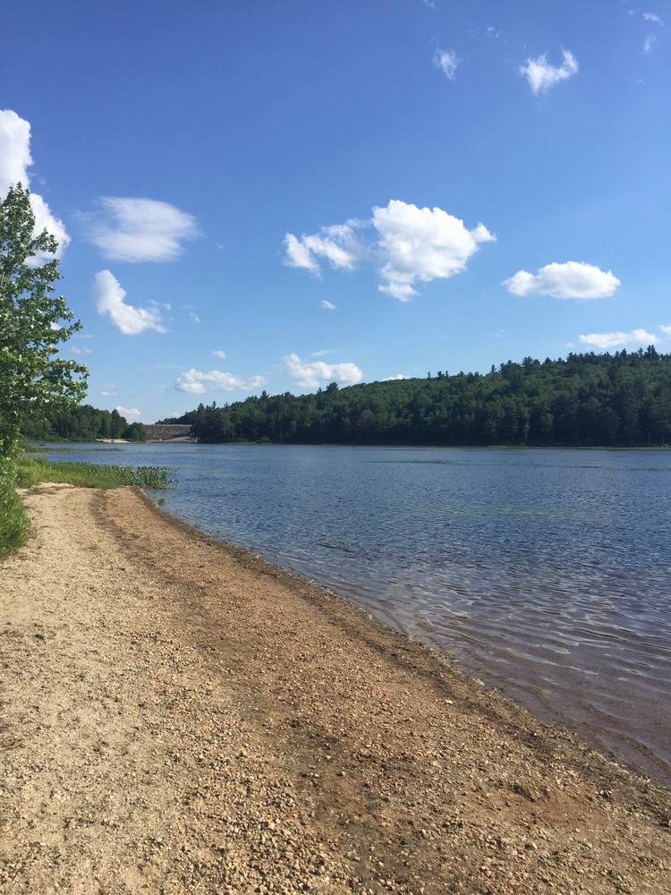
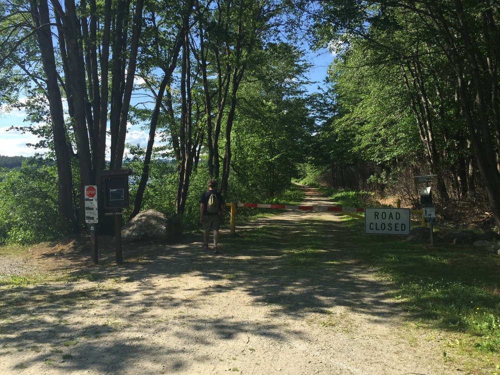
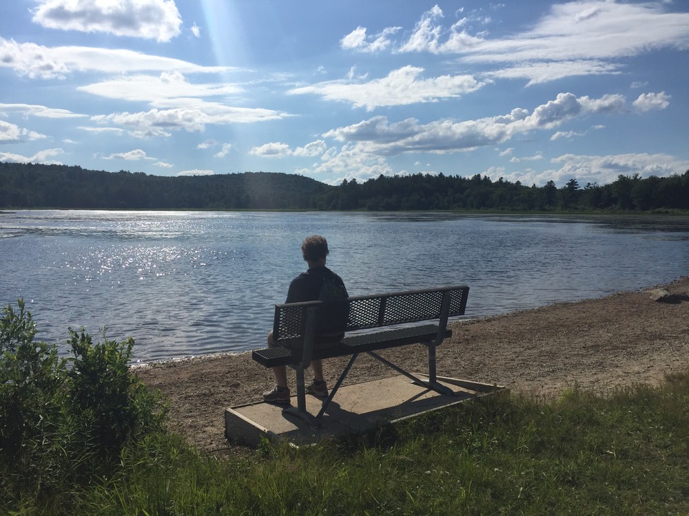
Wetland Wander Trail: This trail is the park's most accessable trail as it is on an unpaved, level road. The trail starts from the parking lot nearest the beach and leads through forest for a short period before opening up with the lake on the western side of the trail and wetlands on the other side. This trail is particularly popular for birdwatchers because the trailside wetlands are home to wood ducks, mallards, Canada geese, heron, the occasional eagle, and waterfowl during their annual migration. After 0.5 miles along the road, the trail comes to a sandy beach area with a bench. Here the Sandpit Trail meets the Wetland Trail from the east (right). The Wetland Trail continues for another 0.3 miles and passes by a boat launch and a marsh. The trail ends at the second yellow gate and can be used as an out-and-back to there or the walk can continue onto Spring Road then NH-137 and to the West Ridge Trail for a longer loop.
Sandpit Trail: The Sandpit Trail is a short trail on an unpaved road that connects the Ridge Trail to the Wetland Wander Trail and can also be taken out to Spring Road from the lakeside intersection with the Wetlands Trail, or vice-versa. The trail's sandy surface makes it a bit more challenging than Wetland Trail, but it's still quite level.
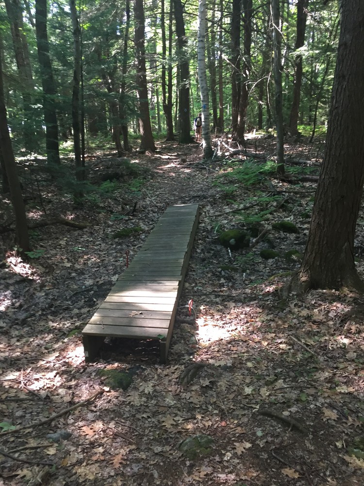
Ridge Trail: The Ridge Trail departs from the ranger station and winds through woodlands made up of hemlock and beech. The trail leads visitors past classic New England style stone walls and offers a totally different ecosystem from the Wetlands Trail for wildlife viewing. The trail eventually meets up with the Sandpit Trail, where users can turn around and walk back on the Ridge Trail, or turn left and loop back to the parking area via the Wetlands Trail.
Please note that all pets must leashed and in control at all times, and that the users must carry out what they carry into the park.
Swimming is only allowed in designated swimming areas and at one's own risk, as there is no lifeguard on duty.
For more information about the park and the trails, visit the U.S. Army Corps of Engineers online, or contact:
US Army Corps of Engineers - Peterborough OfficeFrom Peterborough, drive west on NH-101 (Dublin Road) and continue for 1.6 miles. Turn right onto Union Street and continue for 0.6 miles. Turn left onto Wilder Street and continue for 0.4 miles to the entrance to the park. There is parking available in a number of places along this road.
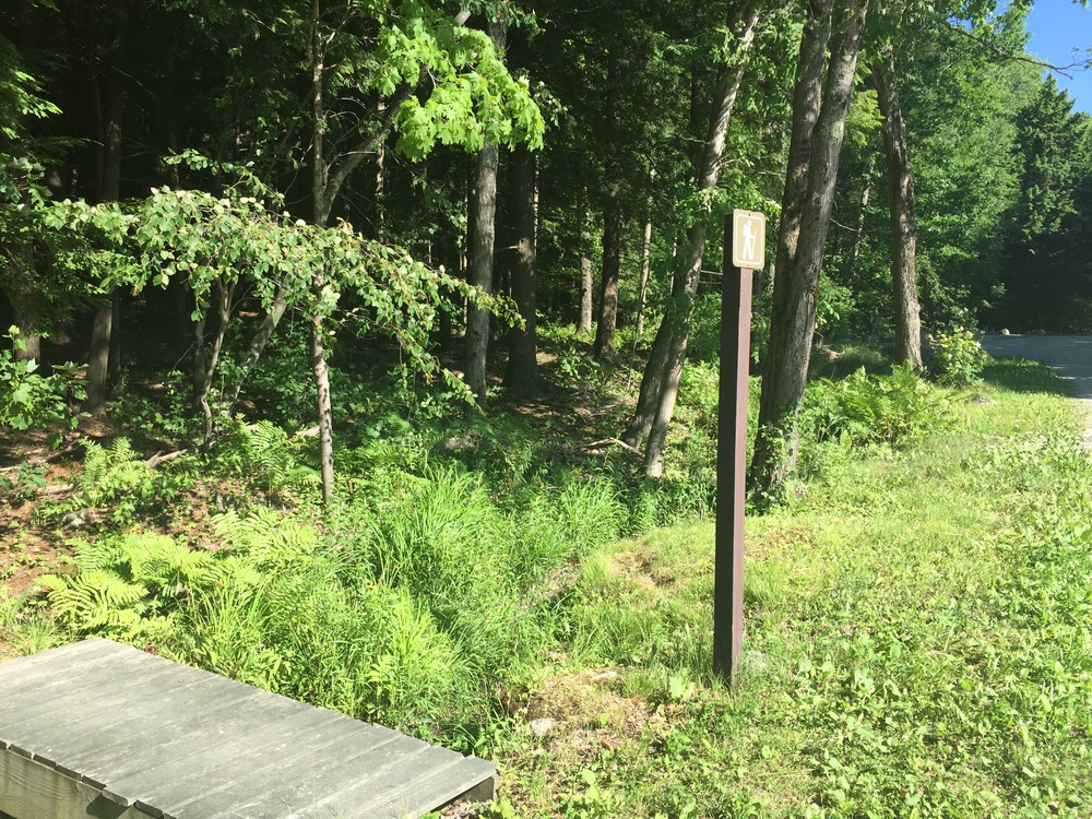
There are trailheads located on the west side of the dam, just south of the ranger station, north of the ranger station, and off of the beach side parking area.
Success! A new password has been emailed to you.
