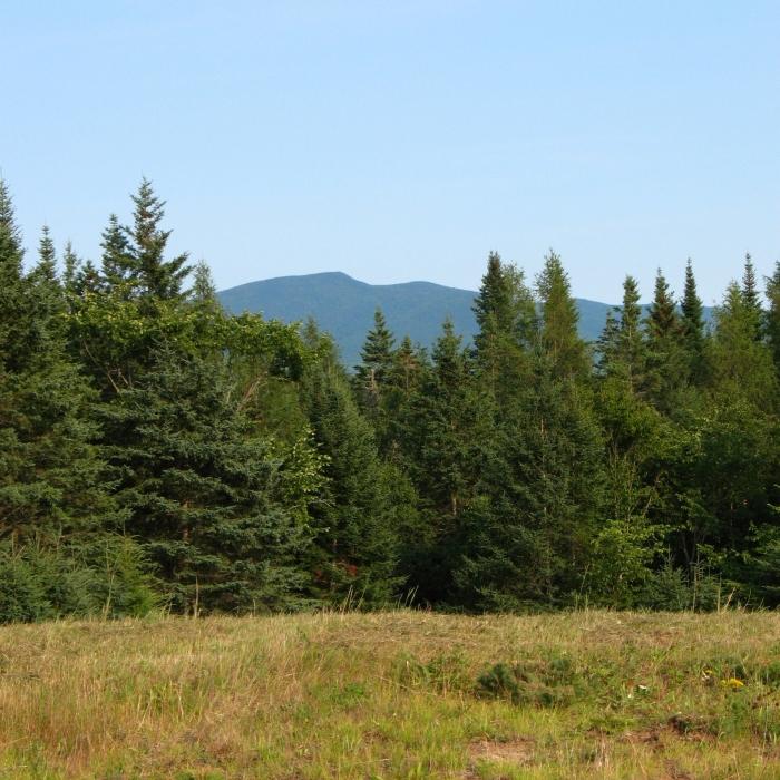
The David Dana Forest is mostly a spruce-fir forest managed for timber products. Several fields are mowed annually to maintain them as grassy openings for habitat.
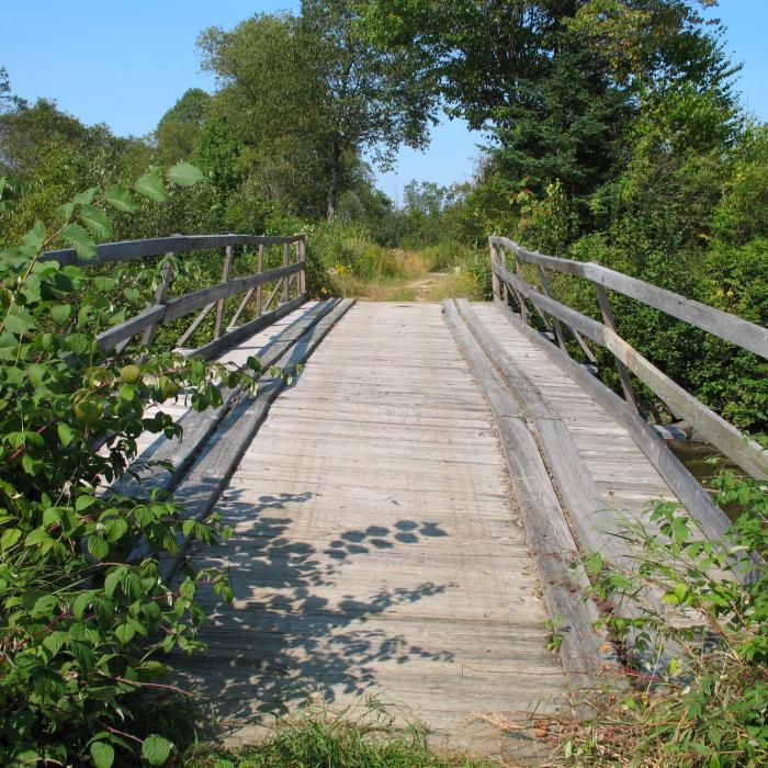
Trails include woods roads, wooden steps, and stairs over steep sections. The main trail access to the interior portion of the property leaves from the gated entrance on Ridge Road. It winds through a managed spruce-fir forest for nearly 0.7 miles before intersecting with a segment of Lower Ox Team Road. To the left, Lower Ox Team Road leads 0.2 miles northwest to the intersection of the Gold Mine Trail, which heads northeast. The Gold Mine Trail is a rocky, moderately strenuous trail that ends at the mine face in approximately 0.3 miles.
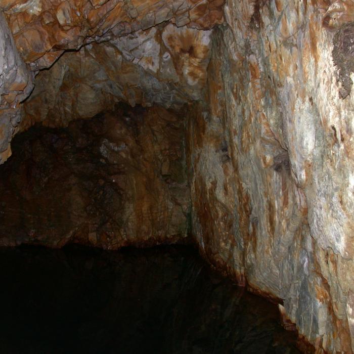
The most unique feature of the property is the old gold mine, operated by the Whitefield Mining Company until 1885. The gold mine is an excavated cliff face now filled with water and rock from the cliff above. Historical records describe the mine as descending over 100 feet, following a fracture in the underlying gold bearing rock. A very limited amount of commercial gold was removed from the site before it was determined to be uneconomical and closed.
For more information about the David Dana Forest, including a PDF trail map, visit the Forest Society's website here. For mobile maps and navigation on all Forest Society properties, download the Forest Society Mobile App powered by OuterSpatial on your mobile device.
GUIDELINES
For additional information, visit the Society for the Protection of New Hampshire Forests website, or contact:
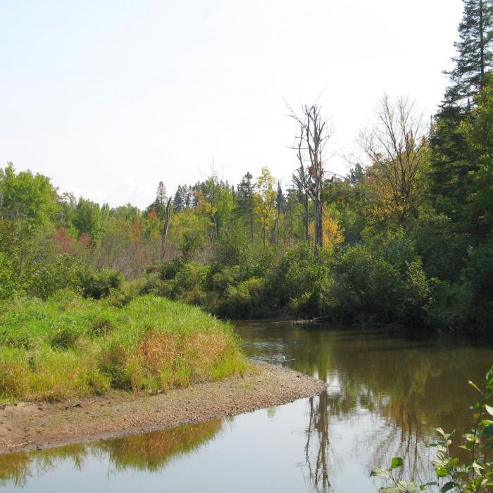
Society for the Protection of New Hampshire ForestsFrom US-3 in Whitefield, head north on King Square (ME-142) for about 300 feet then turn left onto Main Street. After another 300 feet continue straight onto Brown Street. Go 0.5 miles and continue straight onto Faraway Road. Cross over Johns River and continue 0.8 miles on Faraway Road. Turn right on Ridge Road, and go 0.5 to the trailhead on the right.
There are no developed parking areas for this property, but there is a pull-off at this gated entrance on Ridge Road. Please do not park on Lower Ox Team Road, as it is private property.
Success! A new password has been emailed to you.
