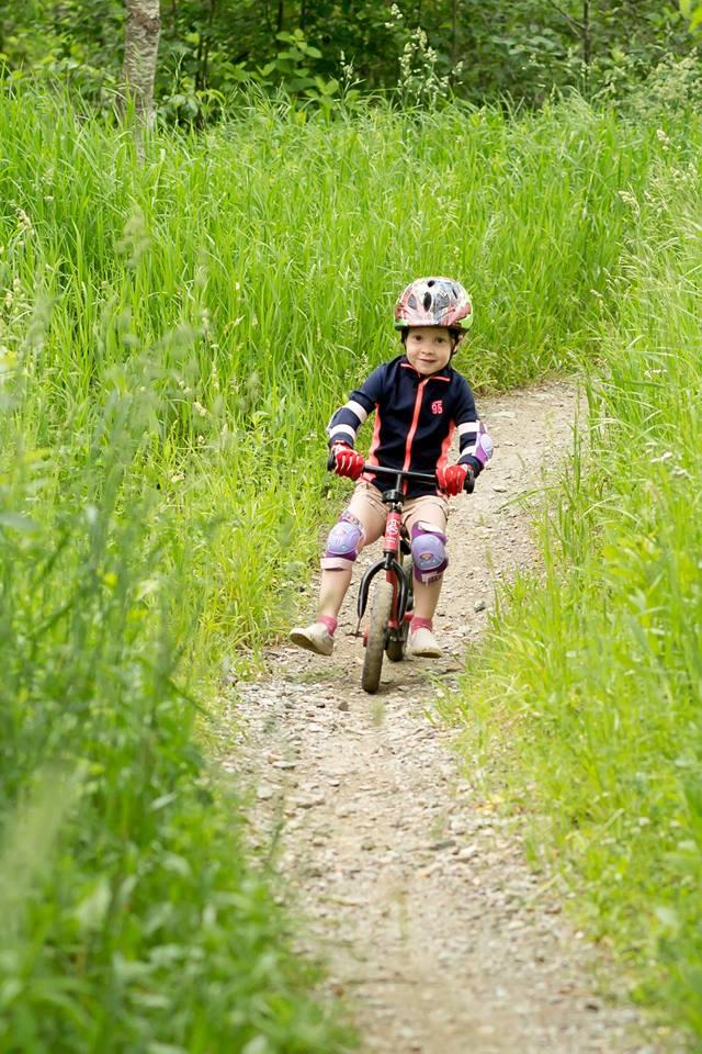
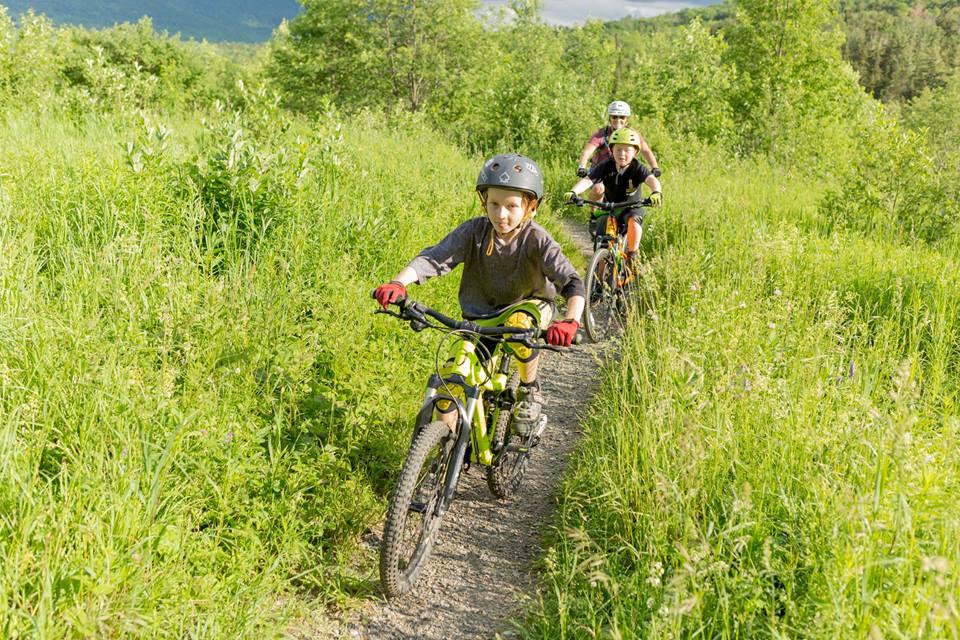
The Blueberry Lake trails were designated in 2013 as an International Mountain Bike Association Model Trail-Gateway network and are great for beginners.
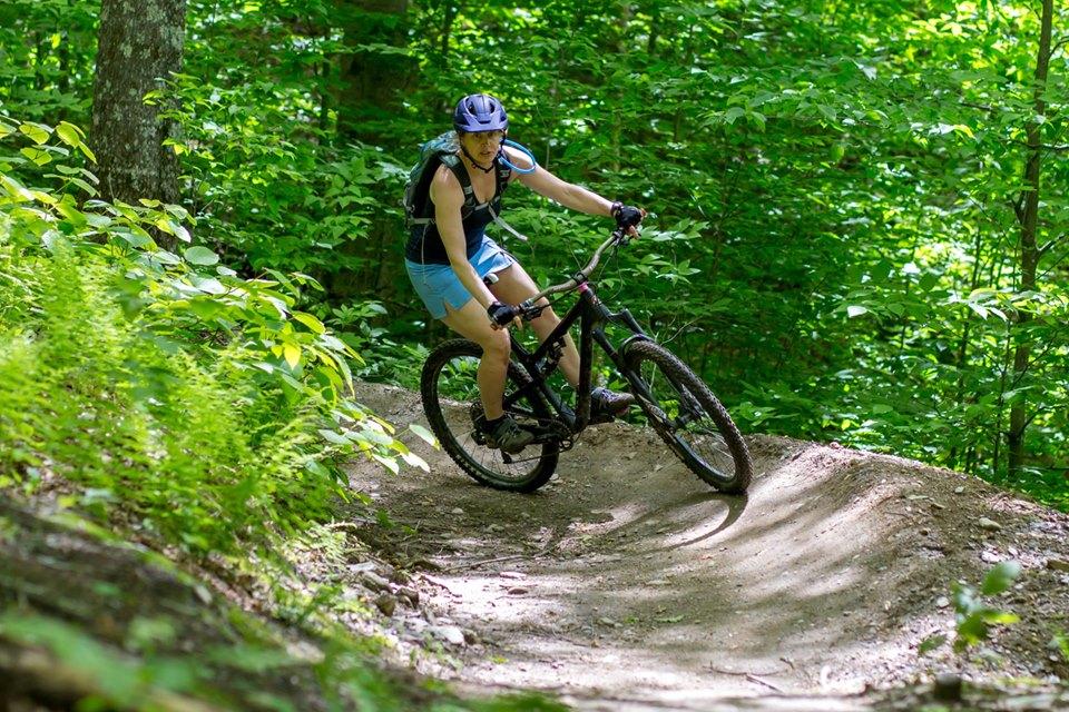
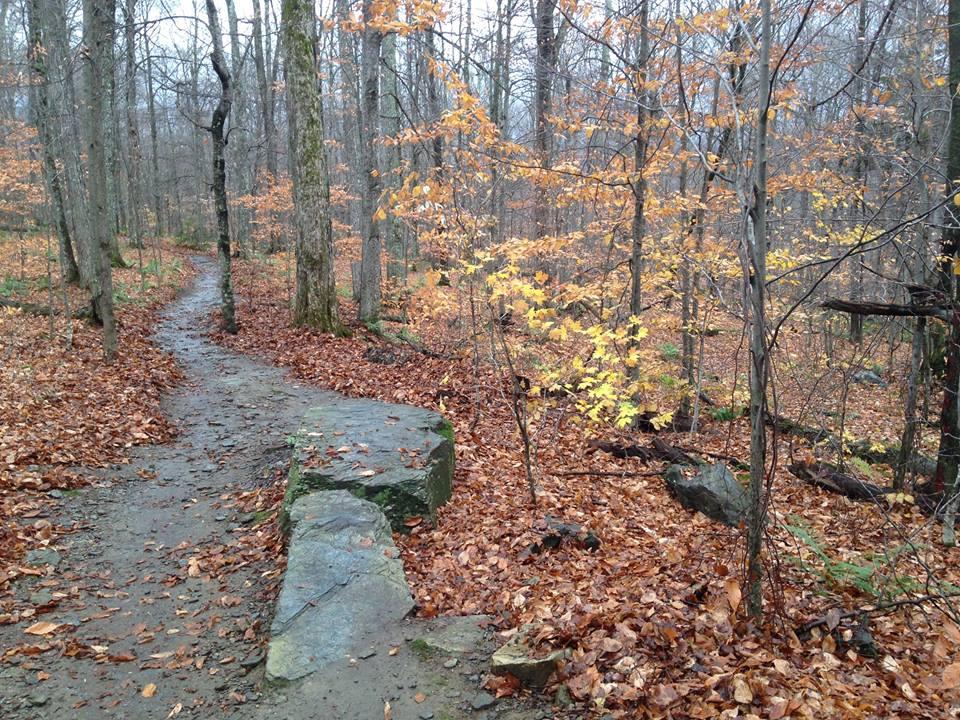
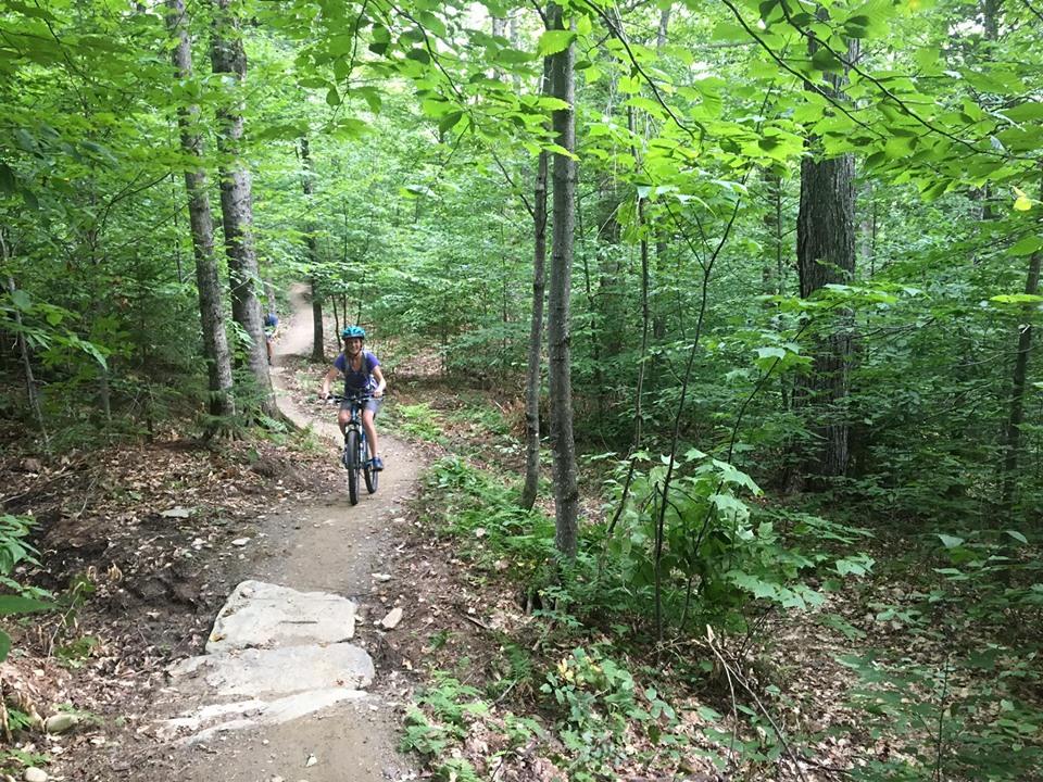
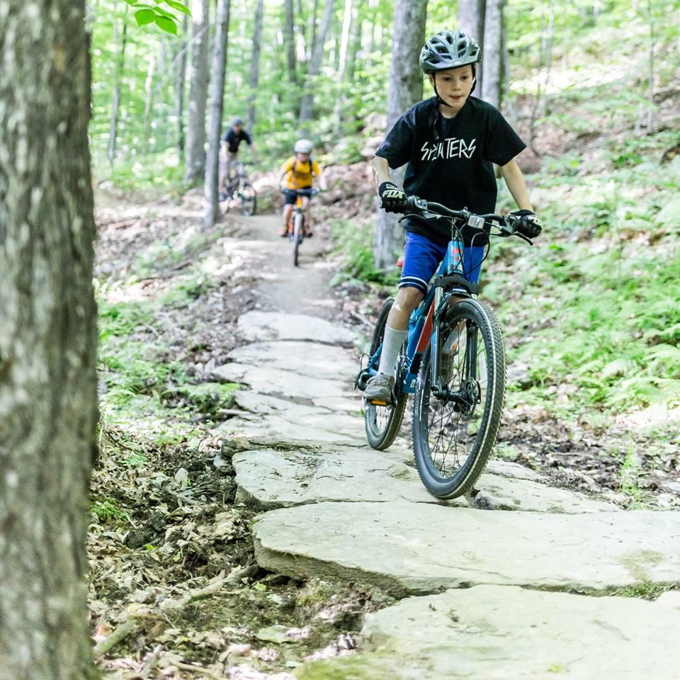
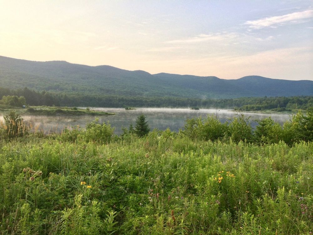
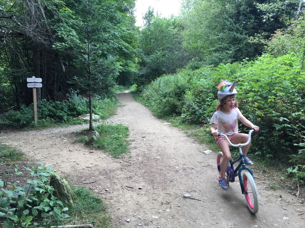
Head to Tootsie Roll first for smooth surfaces and gentle grades. Next try Flying Squirrel for a fast and fun ride through the trees. Lenord’s Loop adds more challenge with more climbing and descending on bermed switchbacks and rollers. Suki’s Alley and Amenta’s Way are super flowy with rock features and optional jumps. Look for views of the lake from Tootsie Roll, the beautiful birch forest of Flying Squirrel, and a mountain lookout from Amenta’s Way. These trails are very popular for hiking and trail running too.
For specific trail descriptions, go to the Mad River Riders or check Trailforks.
Trail Guidelines
![]() This trail is part of the Mad River Valley Trails Collaborative.
This trail is part of the Mad River Valley Trails Collaborative.
The Collaborative is a watershed-wide network of lands and trails created through a partnership of local organizations, generous property owners, towns, the State of Vermont, the US Forest Service, and many volunteers. These trails reflect the Mad River Valley’s love of the outdoors and commitment to stewardship of land and recreational opportunities for current and future generations. Enjoy and help us care for this place. Click here to learn more and support recreation in the Mad River Valley.
These trails are maintained by the Mad River Riders and managed by the Green Mountain National Forest.
Visit Mad River Riders for more information or use the contact information below.
The Mad River Riders, a founding chapter of the Vermont Mountain Bike Association (VMBA), maintain a 58+ mile network of multi-use trails throughout the Mad River Valley. Our trails are open to the public and free to use for biking, hiking, walking, running, skiing, and snowshoeing. We have something for everyone, from beginner friendly Tootsie Roll at Blueberry Lake, to the flow of Evolution, to the classic lines of Clinic and Cyclone, to the rocky challenge of Chain Gang.
Help us build more trails and maintain this awesome network; consider becoming a member or donating to the Trail Fund. Visit our website to learn more about our trails, events, rides, work days, and new projects.
Mad River Riders - Vermont Mountain Bike AssociationFrom Main Street in Warren, head east on Brook Road for 1.9 miles. Turn right on Plunkton Road. After 1.8 miles, you will reach Blueberry Lake. There is a parking lot on the left. Trailheads are on the opposite side of the road from the parking area.
Success! A new password has been emailed to you.
