Amity Pond Natural Area Trails
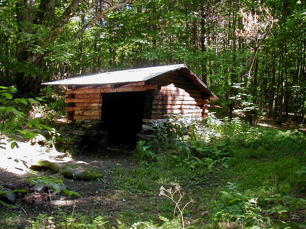
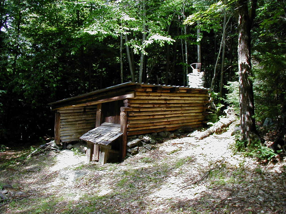
Amity Pond Natural Area contains approximately 2.7 miles of trails including the option of a 1.5 mile loop using the Crossover Trail. Allowed trail use includes hiking, cross-country skiing, snowshoeing, and horseback riding. Scenic views of the Vermont country side are found from the open meadows near the height of land. Camping is allowed at the two rustic lean-tos. Lean-to use is “first come, first served.”
There are several loop options of different lengths and difficulty. Trails are marked with blue paint blazes on trees. Trails are open to all forms of non-motorized and non-mechanized recreation, including: hiking, horseback riding, pack animals, ski touring and snowshoeing.
Option 1: Amity Pond Loop. 0.4 miles, easy.
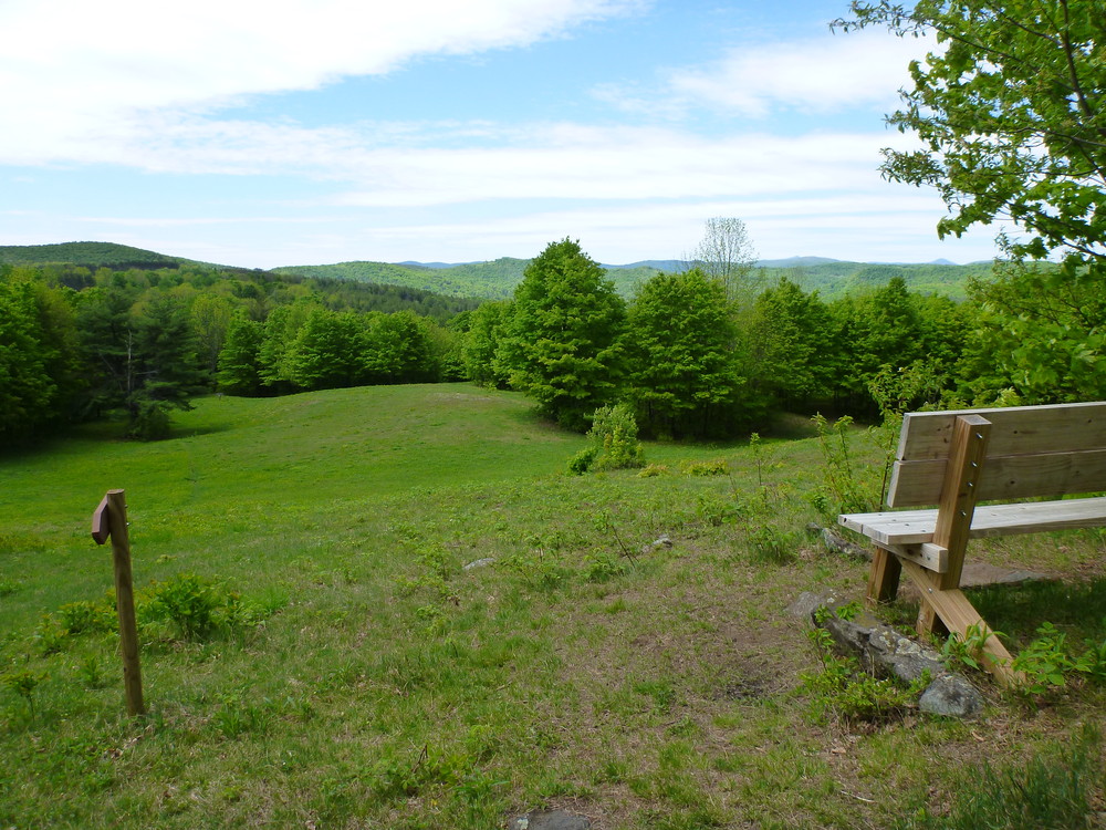
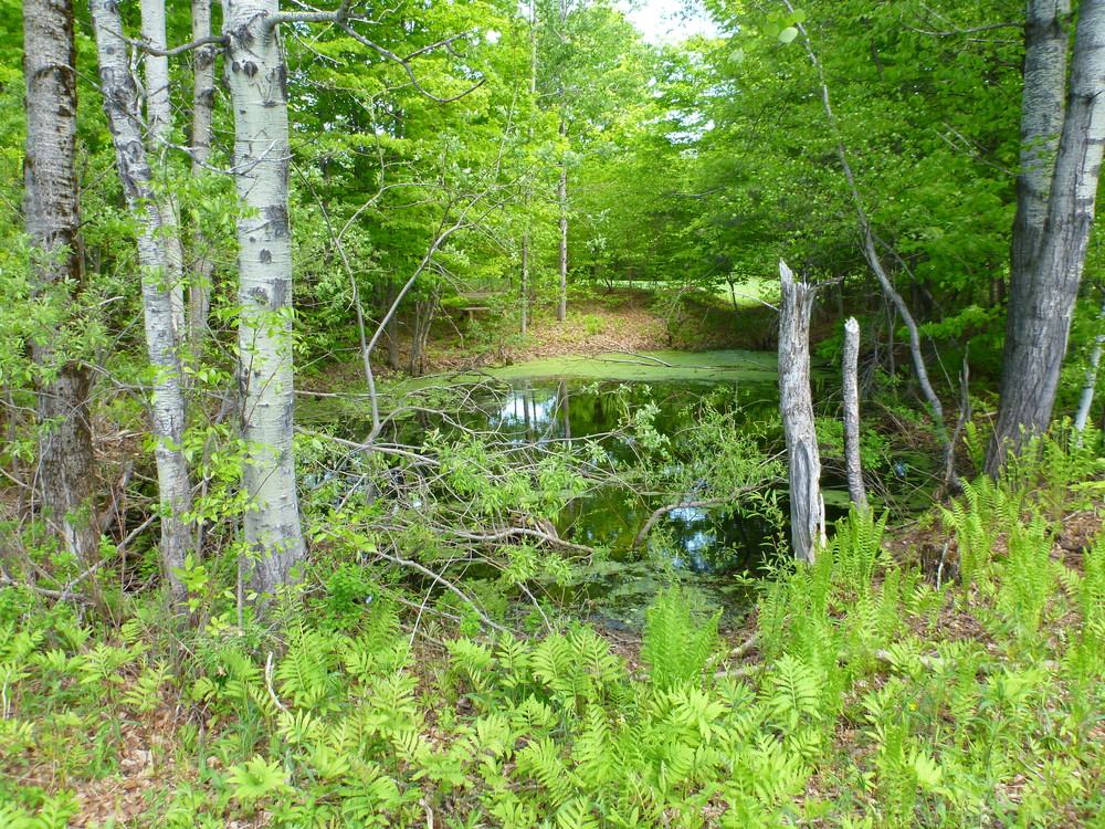
Start by the entrance sign, bear left past a kiosk and small pond and continue to the Amity Pond Shelter. The trail then continues past another small pond and up a steep bank with wooden steps to the meadow. Go out into the meadow to the height of land located near a large rock with a bench nearby. Views of Mt. Ascutney, Killington Peak, and Pico Peak are found looking to the south. Turn north (right) and continue to follow the trail through the open field. Amity Pond is located just to the west of the trail in a small grove of trees. Continue through the field past several apple trees to an old road that descends gently through the woods back to the parking area.
Option 2: Crossover Loop. 1.5 miles, moderate.
Start this hike the same way as the Amity Pond loop. At the large rock, continue south on the Amity Pond trail to a junction marked with directional signs. Turn west following the sign for the Sugar Arch Shelter, crossing a field and descending through the woods to the signed junction with the Crossover Trail. The Sugar Arch Shelter is located a short distance below this junction. Turn east following the Crossover Trail to its signed junction with the Amity Pond Trail. Turn north and follow the trail back uphill to the parking area.
Option 3: Amity Pond-East Barnard Loop. 3 miles, moderate.
This loop involves hiking along town roads to connect the two sides of the Amity Pond Trail near East Barnard village. Near the Sugar Arch Shelter, at the signed junction of the Amity Pond and Crossover trails, follow the Amity Pond trail downhill along an abandoned road. The trail turns to the north just before a fenced field, and follows the fence line along the edge of the woods to the east of a fenced horse pasture and barn. Just above the house, the trail crosses a small footbridge and proceeds through a field to Allen Hill Road. Turn left and follow this gravel town road west to its intersection with Broad Brook Road near the East Barnard Cemetery. Turn south along Broad Brook Road, and travel past the fire station to the bridge crossing Broad Brook. Just past the bridge, the trail turns off the town road to the east, fords the brook and continues uphill to the parking lot. Fording this brook can be difficult under high water conditions.
Amity Pond Natural Area
This 182- acre parcel was donated to the State of Vermont in 1969 by Richard and Elizabeth Brett.
The Bretts felt there were not enough places where one could be removed from technology and machinery, and donated the property to “provide a natural environment for quiet relaxation by people who walk, ski or snowshoe.” Deed restrictions prohibit the use of machinery except that needed for emergency or maintenance purposes. The parcel became a State Natural Area in 1983.
The site has two camping shelters; each has a fireplace and non-potable water supply.
GUIDELINES
Trails are for multi-purpose, non-motorized use only. No motorized vehicles, road or mountain bicycles are allowed.
Camping is allowed only at the two shelters. No potable water is available.
Fires may be kindled only at the shelter fireplaces.
Only dead and downed wood may be gathered.
No radios are permitted, per deed restriction.
No living plants, trees flowers, or other vegetation may be cut or picked.
Stay on marked trails.
Carry out all trash and waste that you bring in.
Leave only your footprints.
For more information, visit the VT Department of Forests, Parks & Recreation online or contact:
VT Dept. Forests, Parks & Recreation District 1: Springfield DistrictAccess is on Allen Hill Road. Parking is available at a small pull-off located opposite the entrance sign.
Success! A new password has been emailed to you.
