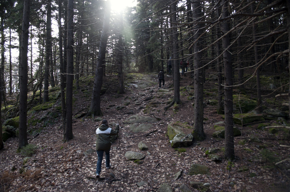
The forested peaks of Temple Mountain can be reached from the north or south by the Wapack Trail, which is blazed in yellow. Evidence of the former, privately owned Temple Mountain Ski Area, can still be found on the slopes of the mountain.
From the northern entrance at Temple Mountain Reservation, there is a short spur trail to the west from the parking lot, that joins the Wapack Trail. The trail to the top of the mountain is short, about 0.8 miles, and is a steady climb up the access road, though not rugged. The newly-blazed Beebe Trail joins the Wapack Trail at the top of the mountain and can be taken down the eastern slopes of Temple Mountain to make a loop back to the parking lot, for a total of 1.5 miles. The Beebe Trail is a bit more forested and has a consistently natural feeling to the trail experience.
Alternatively from the top of the former ski area, hikers can continue 1.2 miles to Holt Peak, at 2045 feet, outside of Temple Mountain Reservation. The Wapack Trail continues on to Burton Peak before reaching the intersection with the Berry Pasture Trail. From this intersection, the Wapack Trail descends 1.3 miles to NH-123.
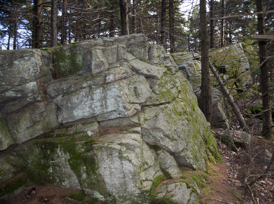
The route offers a few points with views to the north, most notably at Currier Outlook, of neighboring South Pack Monadnock Mountain, and the surrounding area.
The Wapack Trail is a 21.5-mile hiking trail that runs north-south over a half-dozen small mountains, none taller than 2,300 feet, from Mt. Watatic in Ashburnham, Massachusetts, to North Pack Monadnock in Greenfield, New Hampshire. It runs alongside ponds and wetlands, through dark woods and open blueberry fields, past stone walls and cellar holes, and across ledges and summits with fine views of Boston to the hills of Vermont. The Wapack Trail passes through both public lands and private lands, including a cross-country ski area, and has six trailheads with parking. For those with a love of long-distance hiking, it connects with the Midstate Trail in Massachusetts at the southern end.
Please note, camping is not permitted along the Wapack Trail.
Visit the New Hampshire Division of Forests & Lands or the Friends of the Wapack online for more information, or contact:


Temple Mountain from the north: There is a large, unpaved parking lot for Temple Mountain off of NH-101, about 3 miles east of downtown Peterborough. The entrance to neighboring Miller State Park is across NH-101. There is a large sign for Temple Mountain clearly seen from NH-101.
Temple Mountain from the south: From Peterborough, follow NH-123 east and then turn right to follow it south toward Sharon. From the turn, travel 3.9 miles and turn left onto Temple Road. The trailhead is on the left, just before the intersection with Greenleaf Road.
Temple Mountain from the west: From Peterborough, follow NH-123 east and then turn right to follow it south toward Sharon. From the turn, travel 3.8 miles and turn hard-left onto Mountain Road. The Berry Pasture trailhead is on the left, after about 0.6 miles.
Success! A new password has been emailed to you.