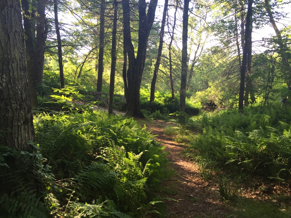
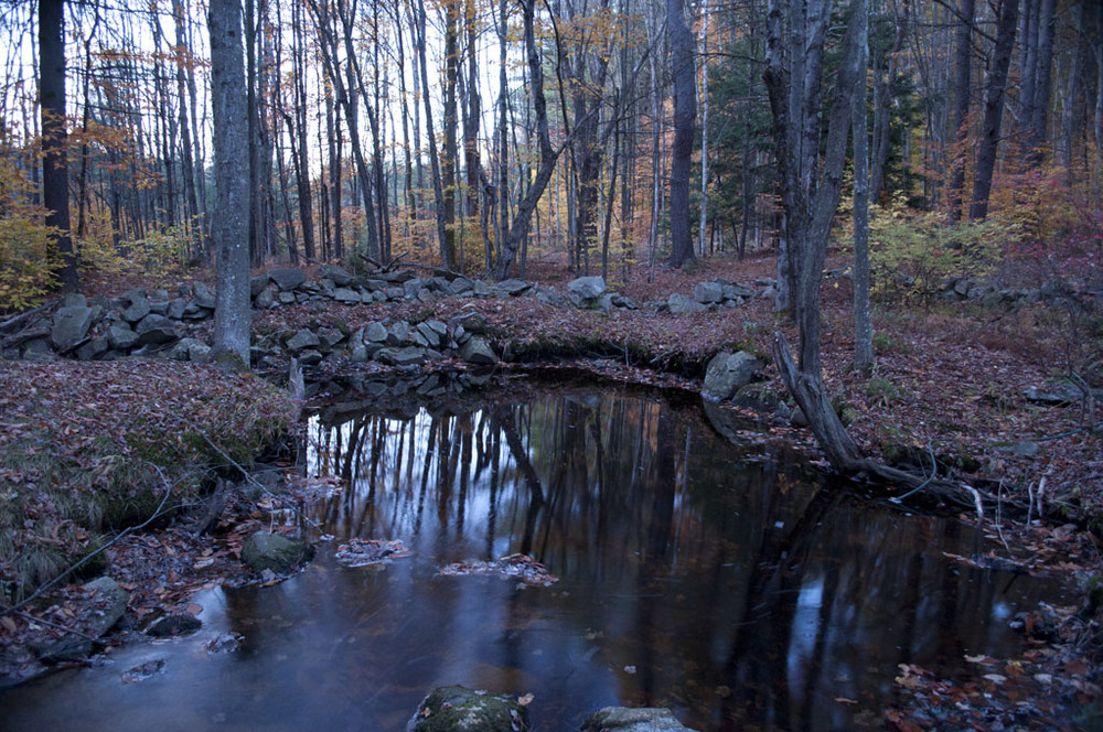
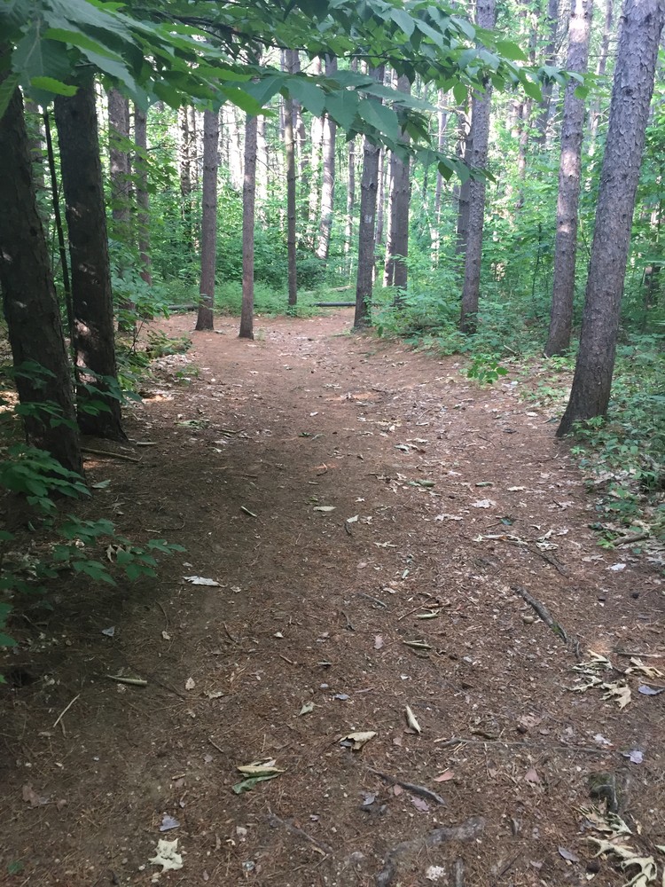
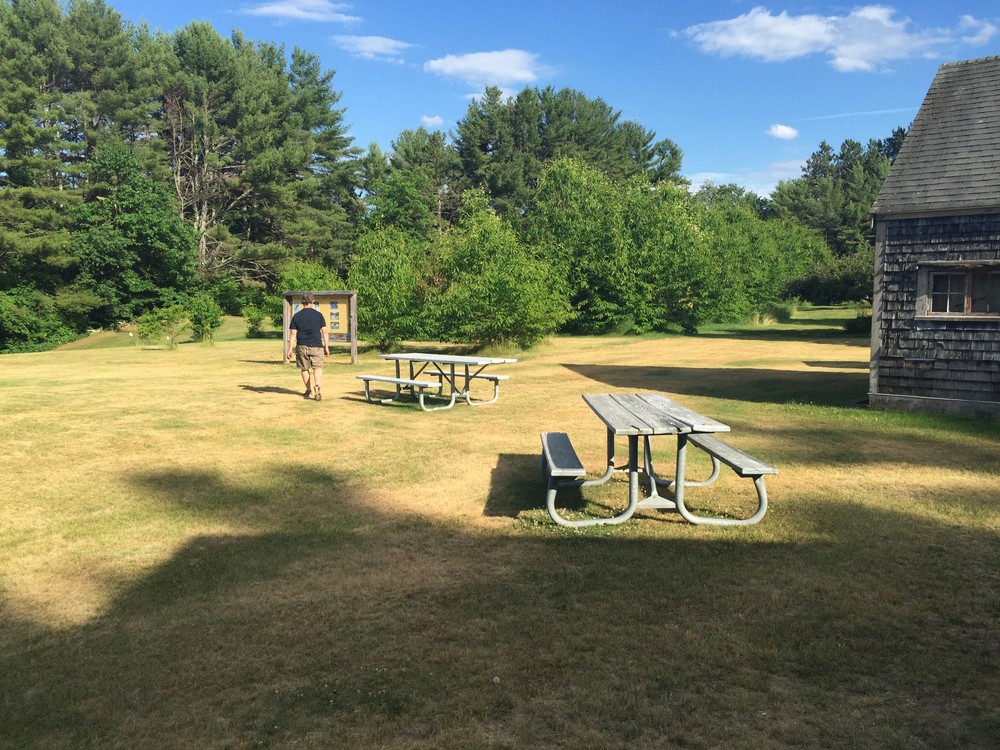
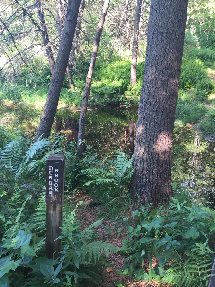
The Shieling Forest Trails are a network with a number of named and unnamed trails that can be combined to create different loops. The trail system starts across the field from the parking lot, where it descends a short staircase onto the trail, and continues downward. The trail comes to a Y on the descent; hikers can go either way here because they both come out to the bridge that crosses Dunbar Brook at the bottom of the hill.
Boulder Trail: This trail is marked by white blazes. From the wooden foot bridge across Dunbar Brook, this trail continues straight. The trail continues through the length of the forest, through a number of trail intersections at which it continues straight. At the Y intersection with the Ridge Trail, it continues to the left. The trail ends at the boulder for which the trail was named. The boulder is an erratic left by a retreating glacier in the ice age and stands over 30 feet tall. From the end of the trail, hikers can turn back the way they came or can turn right and continue along a stone wall, then turn right again to connect to the Ridge Trail.
Brookside Trail: From the wooden foot bridge across Dunbar Brook, the Brookside Trail turns right and continues alongside the brook. This trail winds past the Elizabeth Yates McGreal Wildflower Garden, with a variety of marked wild plants, and up to the former Hadley Brickyard. This trail is a short and worthwhile addition to a longer hike both for historians and naturalists.
Flower Trail: After the Boulder Trail ascends a moderate hill for a short time, it comes to an intersection where the Flower Trail can be accessed to the left. The trail, as the name implies, is excellent for viewing wildflowers. It runs parallel to the Boulder Trail and reconnects to the Boulder Trail at the end, where users can see the boulders.
Tree Trail: Continuing out the Boulder Trail, past the intersection for the Flower Trail, users can find the turn-off for this trail on the right-hand side (east) of the Boulder Trail. This trail has a large variety of trees marked for identification, making it interactive and educational. The trail terminates at Old Greenfield Road; from here hikers can turn around and go back the way they came.
Ridge Trail: The Ridge Trail is accessible via the next right-hand (east) turn after the turn for the Tree Trail. After following this for a short distance, turn left at the next fork. If hikers turn left at the end of the Ridge Trail and follow the stone wall, then turn left again, they will reach the Boulder Trail, which they can follow back to the start.
Granite Out Crop Trail: The Ridge Trail is accessible via the next-right hand (east) turn after the turn for the Tree Trail, after following this for a short distance, turn right at the fork to hike on the Granite Out Crop Trail. This trail leads users past a large granite outcrop that was once the site of a quarry. If hikers turn left at the end of the Ridge Trail and follow the stone wall, then turn left again, they will reach the Boulder Trail, which they can follow back to the start.
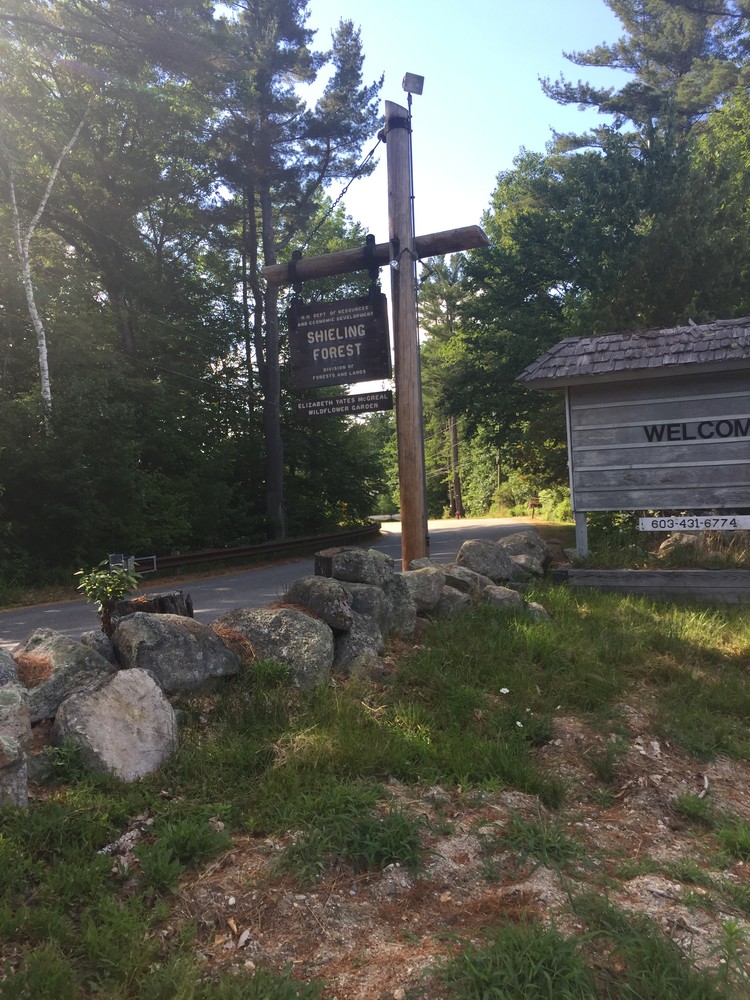
Visit the New Hampshire Division of Forests & Lands online for more information, or contact:

On Main Street in Peterborough, drive east and turn left onto US-202/NH-123 (Concord Street). Continue straight for 0.5 miles, then turn right onto Sand Hill Road. Continue for 0.7 miles, then turn left onto Old Street Road. Continue down Old Street Road 0.1 miles to the Shieling Forest parking lot on the right.
Success! A new password has been emailed to you.