Mud season is here!Protect the trails we all love by sticking to open, dry areas. Learn more! 

Shaw Mountain Natural Area

Hike over a shrub swamp, past vernal pools, through an oak-hickory forest and check out a glorious outcrop community of wildflowers in the spring.
Trail Activity
Hiking
Length
2.40 miles, Loop
Difficulty
Moderate
Town
Benson (VT)
Surface
Packed Earth/Dirt
Pets
Not Permitted
Fees
No

Description

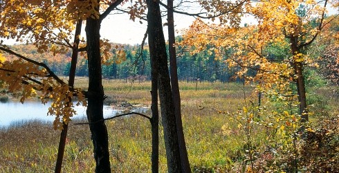
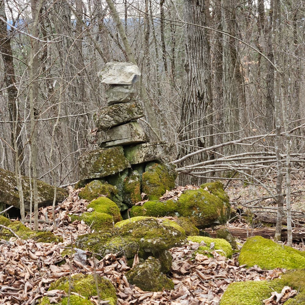
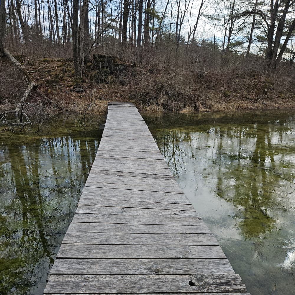
The preserve’s white-blazed trail begins with a short quick climb, then follows a low ridge south (with views through the trees of Root Pond and marsh). The path descends steeply right (west) to a boardwalk that crosses an arm of the marsh (a nice spot for kids to explore), then climbs Shaw Mountain. The trail splits and circles the summit in a loop, offering nice views to the west in winter and early spring. Returning to the split, go back the way you came. This is a great hike or snowshoe trip. Look for turkey and bobcat tracks.

Other Information

The limestone uplift of Shaw Mountain rises over 500 feet from the surrounding land, and is a dominant landscape feature in Benson and adjacent West Haven, Vermont. Shaw Mountain Natural Area supports 11 distinct plant communities, including a shrub swamp, vernal pools, an oak-hickory forest, and a calcareous outcrop community, in addition to 15 rare plant species.

Trail Manager

Visit The Nature Conservancy in Vermont online for more information or contact Murray McHugh, Critical Lands Manager for Southern VT:

The Nature Conservancy: Southern Vermont Office

The Nature Conservancy: Southern Vermont Office
Critical Lands Manager, Southern Vermont
348 Bentley Ave
Poultney, VT 05764
mmchugh@tnc.org
View website

Trail Tips

Travel on Durable Surfaces
If you have to step off the trail, step onto a rock or soil. Avoid stepping on fragile vegetation.
Legend
Hide All

Trailhead Information

1640 Money Hole Rd, Benson, VT

From Rutland, take Rte. 4 west to Exit 2. At the bottom of the exit ramp turn right onto Rte. 22A. Go north on Rte. 22A for about 7 miles  and turn left (west) on Lake Rd. toward Benson Village. At 0.8 miles, go straight at the Benson four corners stop sign. Travel 1.1 miles and turn left (south) on Parkhill Rd. In 0.5 miles, turn right on Money Hole Rd. The Conservancy sign and trailhead parking are 1.7 miles ahead on the left.

Click on a parking icon to get custom directions
Please Log In or Create Account to add comments.
These awesome businesses support our goal of connecting people to outdoor adventures!
Hang Tight!
Nearby services are loading
No Results
No Services Found
SHARE THIS TRAIL

Add Trail Log

Please wait…
Join In on the Fun!
Log in or create an account below to unlock all the great features of Trail Finder: keep track of trails you want to do, preserve memories of trails you’ve done, earn badges, and more!
Your log in attempt was not successful. Please try again.
    Lost your password? Reset your password
    Don't yet have an account?
    There was an issue with your submission. Please try again.
      * Indicates required field
      Already have an account? Login here
      Enter your username, and we will send you a new, randomly generated password to your email account.
      There was an issue with your submission. Please try again.

        Success! A new password has been emailed to you.

        Log in now

        Please wait…