Mud season is here!Protect the trails we all love by sticking to open, dry areas. Learn more! 

Riley Trails

The Hoit Marsh Trail is a relatively easy walk, as is the Snap Town Road trail, which travels through some upland property. The Hoit Marsh Trail is handicap accessible and leads to a viewing platform of the marsh.
Trail Activity
Walking Mountain biking Snowshoeing
Length
1.40 miles, Network
Difficulty
Easy
Town
Concord (NH)
Pets
Permitted on leash
Fees
No

Description

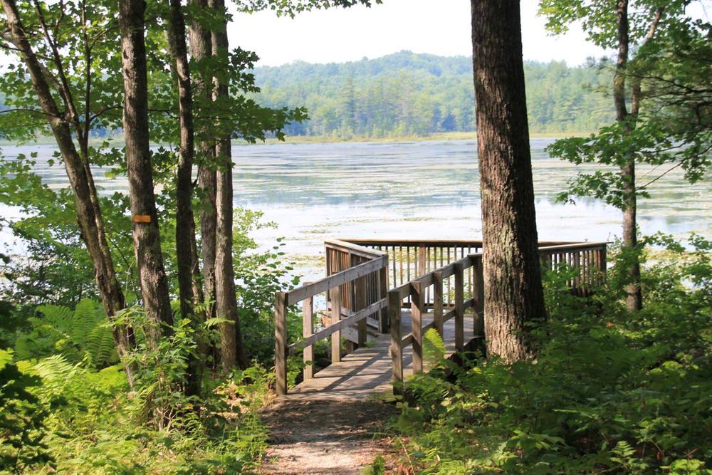
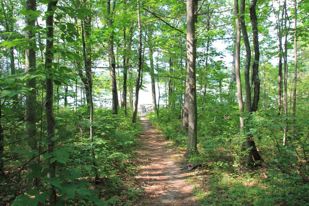
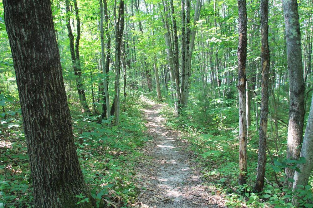
The Hoit Marsh Trail has 2 small loops about 0.65 miles long. The loops are very easy and mostly flat. The direct Hoit Marsh Trail is an accessible trail leading to a viewing platform of the marsh.

The Snap Town Road trail: is 0.8 miles long with moderate hiking with a steady climb uphill.

Other Information

History:

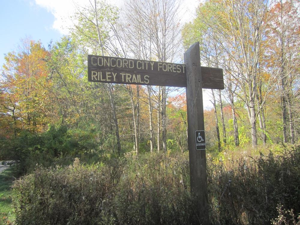
This property was conveyed to the City of Concord in the will of Paul Riley with the condition that the real estate be used as conservation open space.

This area of Concord was known as “Snap Town.” No one is sure how it got its name. One story has it that a man by the name of Blanchard had a habit of snapping his eyes or winking quickly. Another is that an early settler thought that others moving in within a half-mile of his residence were crowding him. He became cross or “snappish.”

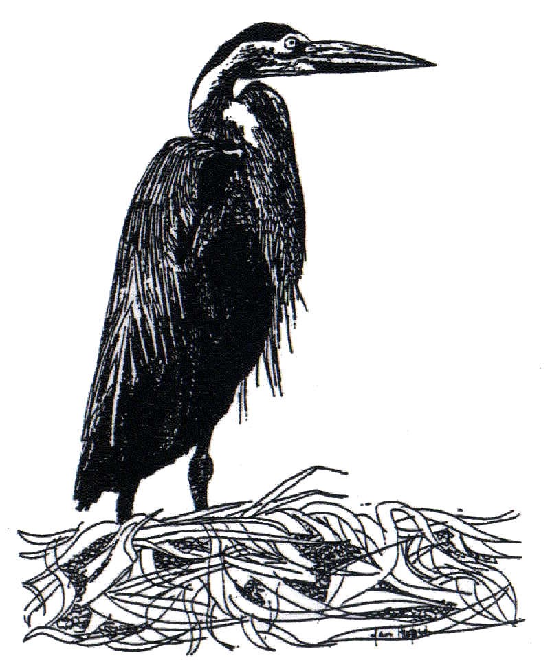
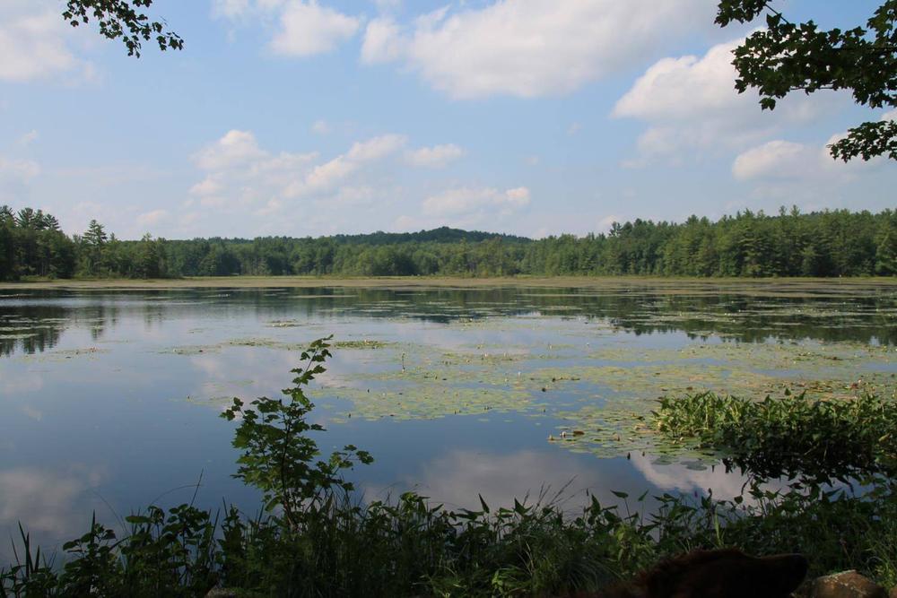
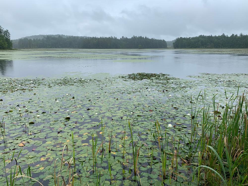
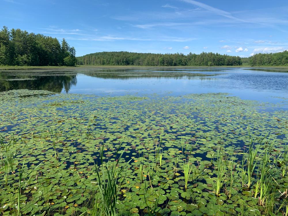
Hoit Marsh is owned and managed by the NH Fish and Game Department. This is a great wildlife area, particularly in the spring and fall when the birds are migrating.

Please do not hike on the Snap Town Road past the City’s trail, as the road at that point is private property.

There is evidence throughout the Snap Town Road area of wildlife, including deer, coyote, raccoon, and moose.

Trail Manager

City of Concord

City of Concord
14 Canterbury Road
Concord, NH 03301
Phone: 603-225-8690
View website

Trail Tips

Be Considerate of Other Visitors
Respect other trail users and be courteous when passing.
Legend
Hide All

Trailhead Information

From East Concord and Shaker Road, turn left onto Hoit Road.  There will be a clearing on your right, which is an old home site. The trail to the marsh is in front of you.

From Mountain Road (Route 132), take Hoit Road east. Pass Hoit Road Marsh and start up the rise. The open area on the left marks the trailhead.  The trail to Snap Town Road is on the south side of Hoit Road.

Click on a parking icon to get custom directions
Please Log In or Create Account to add comments.
These awesome businesses support our goal of connecting people to outdoor adventures!
Hang Tight!
Nearby services are loading
No Results
No Services Found
SHARE THIS TRAIL

Add Trail Log

Please wait…
Join In on the Fun!
Log in or create an account below to unlock all the great features of Trail Finder: keep track of trails you want to do, preserve memories of trails you’ve done, earn badges, and more!
Your log in attempt was not successful. Please try again.
    Lost your password? Reset your password
    Don't yet have an account?
    There was an issue with your submission. Please try again.
      * Indicates required field
      Already have an account? Login here
      Enter your username, and we will send you a new, randomly generated password to your email account.
      There was an issue with your submission. Please try again.

        Success! A new password has been emailed to you.

        Log in now

        Please wait…