The Town Forest has a mixed-use trail system. Foot traffic, mountain biking, and horseback riding are allowed on all trails, while snowmobiles and ATVs are limited to certain trails. The Class 4 section of Reservoir Road passes through the southern half of the property. Motorized vehicles including snowmobiles and ATVs are allowed on this section of the road.
Please treat this land with respect. The roads and trails are closed to wheeled vehicles in spring mud season. Do not use them when they are muddy. Please stay on designated trails listed below.
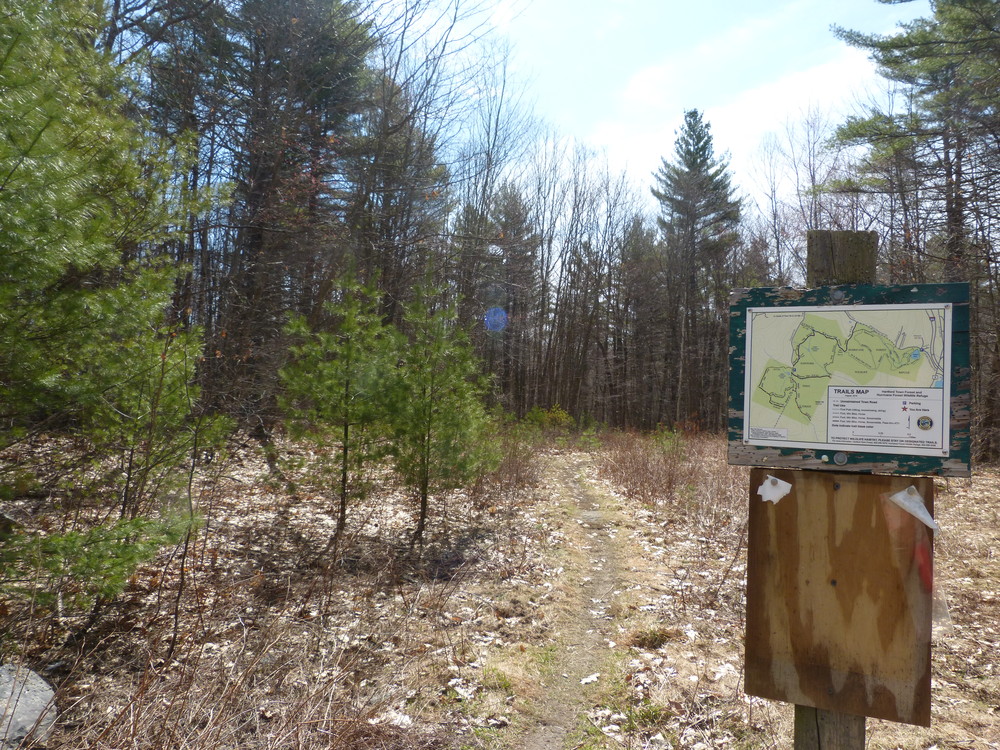
Trails on the North Side of the Town Forest
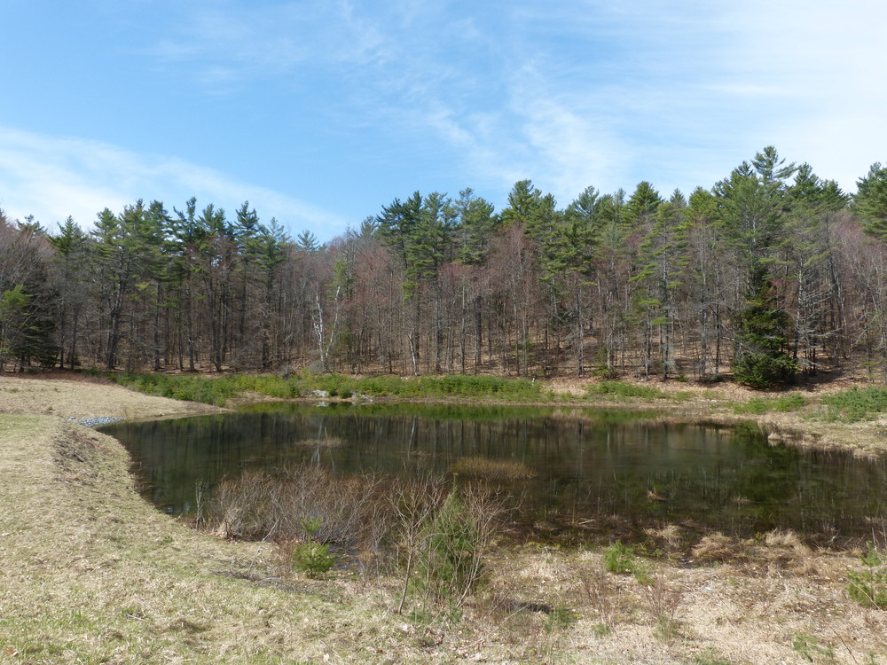
Moose Brook Trail: This narrow trail has a gentle grade and is 0.6 miles long. It begins at the trailhead kiosk on Reservoir Road and travels north connecting to the W.B. Brown Trail. Built by the Vermont Youth Conservation Corps in the summer of 2000, the trail provides two short spurs that connect to the Lower Hurricane Reservoir.
W.B. Brown Trail: This 0.9 mile trail connects the Class 3 section of Reservoir Road and climbs moderately to the east to the Old Tower and onto the Hurricane Forest Wildlife Refuge. Although mountain bikes, ATVs, and snow machines are permitted on this trail within the Hartford Town Forest, only foot traffic is permitted on the trail within the Hurricane Forest Wildlife Refuge. There is a nice view of the Connecticut River Valley to the north from the high point of the open meadow near the boundary between the Hartford Town Forest and the Hurricane Forest Wildlife Refuge.
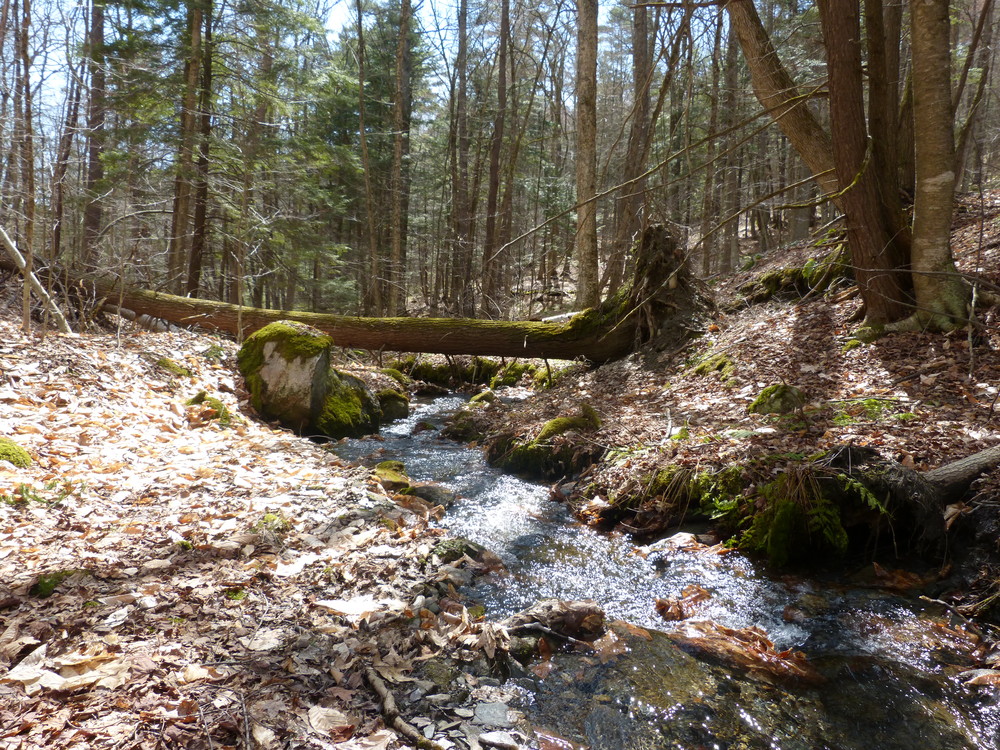
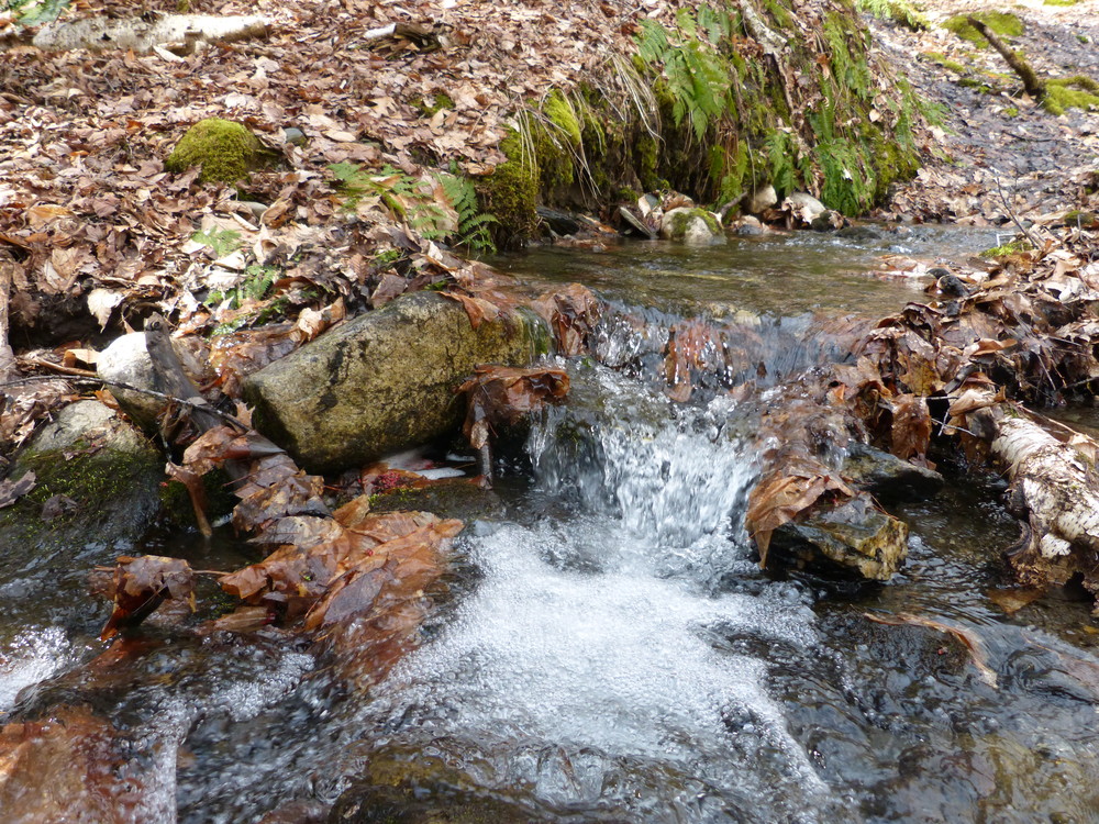
Pine Drop: This 0.5 mile single track trail is the steepest trail in the Town Forest. It was built by the Conservation Commission in 2006. It begins west of the Old Tower near the boundary between the Hartford Town Forest and the Hurricane Forest Wildlife Refuge and heads south downhill to Simonds Way dropping in elevation from 1,270 feet at the top to about 960 feet by the stream near the eastern boundary of the Town Forest.
Trails on the South Side of the Town Forest
West Side Loop: This 1.2 mile loop is gently sloping. It starts on the northwest side of the trailhead parking area opposite the kiosk and traverses the southwest section of the Town Forest. It joins up with the South Side Trail and then returns to Reservoir Road. Continue north on Reservoir Road to complete the loop back to the trailhead parking area. Timber harvesting occurred in this area during the winter of 2005/2006. With the exception of the north section near the trailhead parking area, the trail was a former logging road.
South Side Trail: This short segment of trail (0.25 miles) connects Reservoir Road near the south boundary to the West Side Loop. Within a few hundred feet of the beginning of the trail are vernal pools to the south. This trail was a former logging road. Timber harvesting occurred in this area during the winter of 2005/2006.
Simonds Way: Located off of Reservoir Road 0.1 miles south of the trailhead parking area, this trail heads east and parallels the stream that flows out of the Upper Hurricane Pond. It has a fairly gentle grade and ends at the Town Forest boundary. The trail provides access to Pine Drop on the north side of Simonds Way near the Town Forest boundary. This trail was a former logging road.
Wright Farm Trail: This 0.5 mile trail begins 0.25 miles south of the trailhead parking area on Reservoir Road. The trail climbs gently in a southeasterly direction to the Wright Farm property where the trail ends. Timber harvesting occurred in this area during the winter of 2007/2008. This trail was a former logging road.
Reservoir Road: This section of Class 4 road beginning at the trailhead parking area connects to Neal Road in the southern part of Hartford and is 2.0 miles long. As a Class 4 road, motor vehicles are allowed. Please note that there are wet sections along the road and that the road is closed to vehicular traffic from March 1 – June 1. The segment of Reservoir Road that runs through the Town Forest is approximately 0.5 miles long.
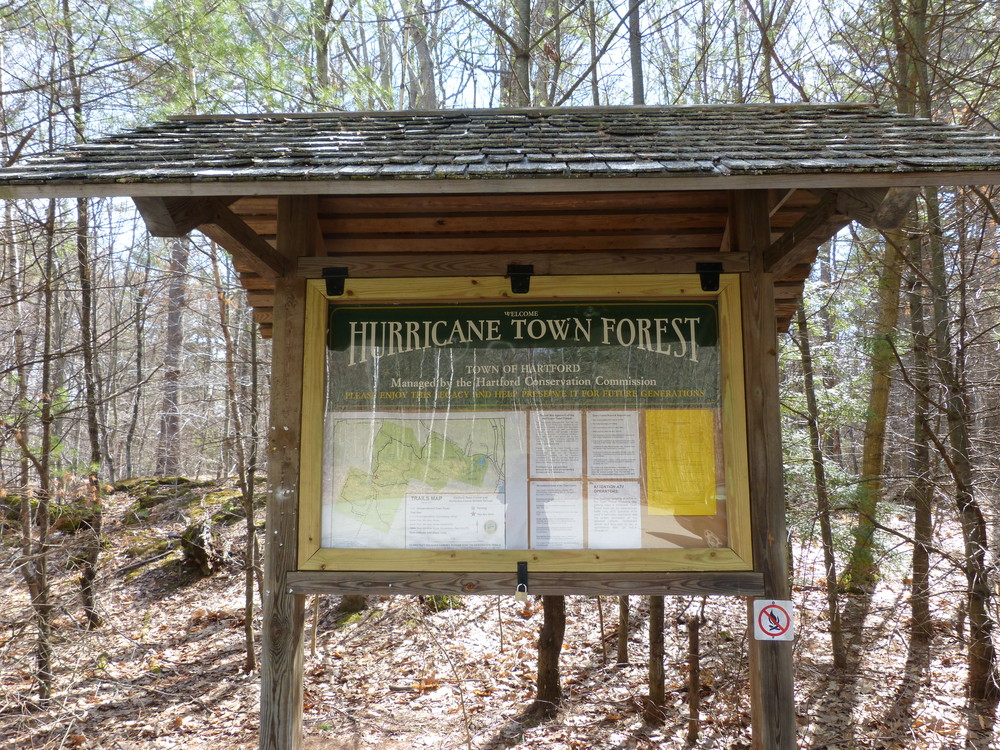
The Hartford Town Forest is a 423-acre town parcel located in the Centertown area of Hartford. Originally, two town reservoirs on the property helped meet the town’s municipal water supply needs. After being replaced by a well system, the property evolved into a municipal forest that has periodic timber harvests and is used for recreational and educational purposes as well as providing valuable wildlife habitat and other important natural resource functions. On its northeastern boundary, the Town Forest abuts another town parcel, the 142-acre Hurricane Forest Wildlife Refuge.
The Town Forest has been managed by the Hartford Conservation Commission since 1997. Presently, there is a Forest Management Plan (first developed in 1984 and updated in 1998 and 2010) and a Recreation Management Plan (2002). The property ranges in elevation from approximately 960 feet on the east boundary to a high point of 1312 feet on Neals Hill. Many of the trails evolved from logging roads and as a result are fairly wide, while others trails are much narrower.
Please note that hunting is permitted year-round on this property.
Visit Town of Hartford online for more information or contact:

Access to the Hartford Town Forest is from Route 4 to Center of Town Road. There are two ways to access Center of Town Road, one from Quechee (west side of Exit 1 of I-89) and the other from White River Junction (east side of Exit 1). Once on Center of Town Road, turn onto Kings Highway across from the Meeting House Common. Follow 0.7 miles and turn right onto Reservoir Road. Follow approximately 0.8 miles to the trailhead parking area.
Success! A new password has been emailed to you.