BENNINGTON SIDE:
4 miles one-way from trailhead to junction with West Ridge trail, blue blazes
2,000’ elevation change
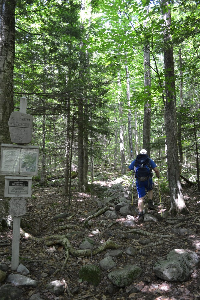
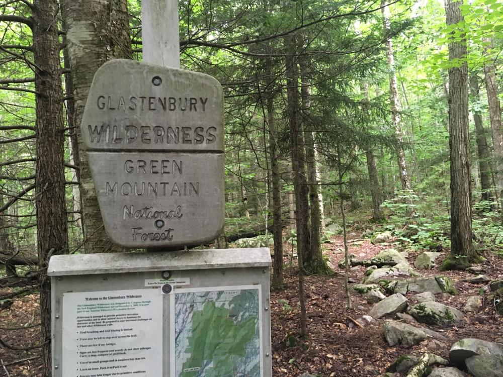
The west side of the Bald Mountain trail goes under a powerline, through a tunnel under VT-279 and then follows an old woods road before entering the Glastenbury Wilderness on the Green Mountain National Forest in approximately one mile. The trail then climbs several switch backs and reaches the white rocks in 2.8 miles. The junction with the West Ridge trail is approximately 1 mile beyond the white rocks vista.
WOODFORD SIDE:
1.9 miles one-way from trailhead to junction with West Ridge trail, blue blazes
1,580’ elevation change
The east side of the Bald Mountain trail follows an old road that provides access for a few local camps and then at 0.3 miles, at the Forest Service boundary marked with red paint, turn left onto the trail and follow the blue blazes. The trail climbs steadily and at 1.6 miles, the trail meets a spur trail leading to a seasonal spring at “Bear Wallow.” The trail reaches the West Ridge trail at 2 miles.
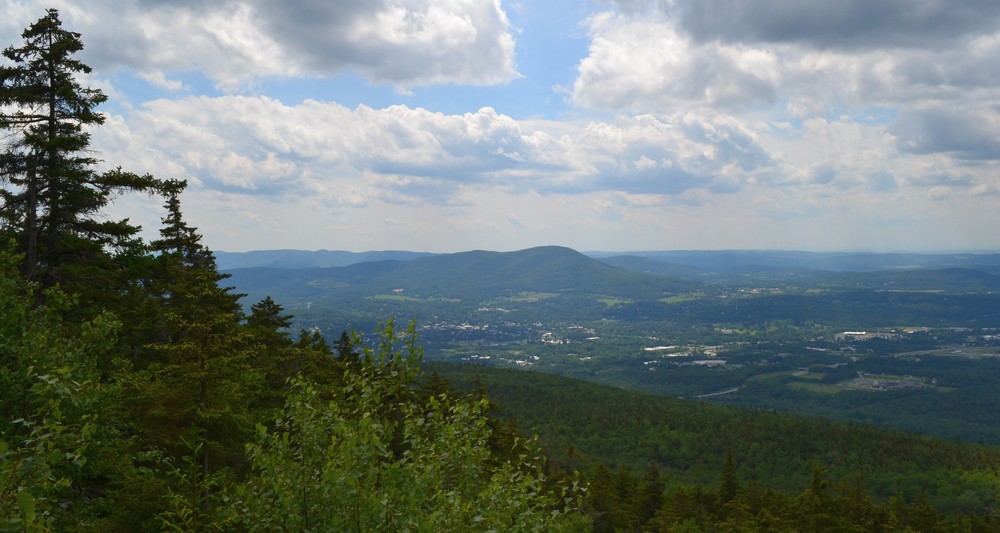
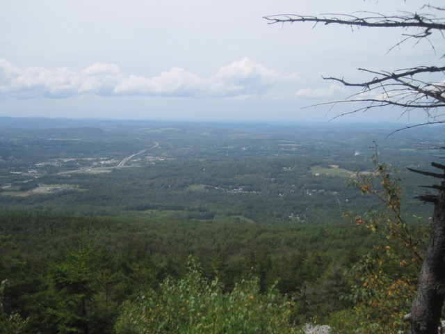
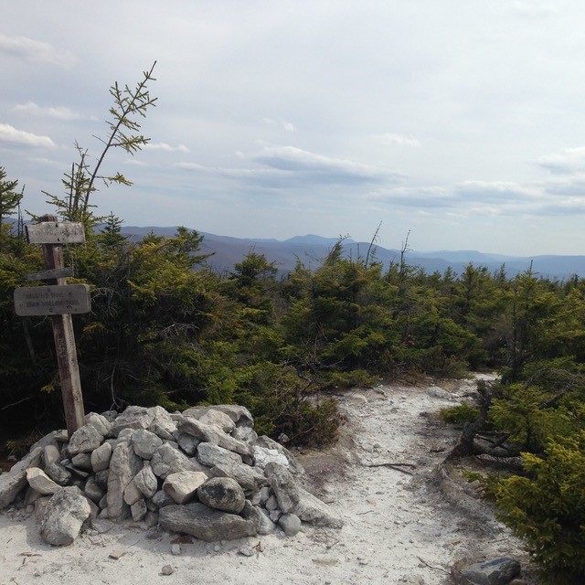
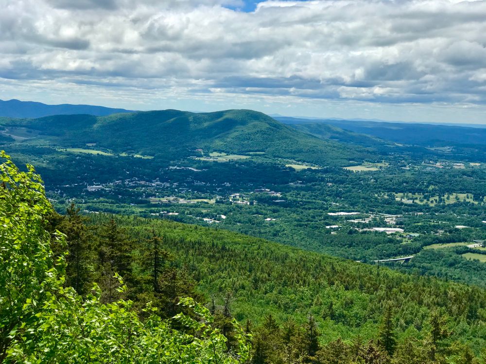
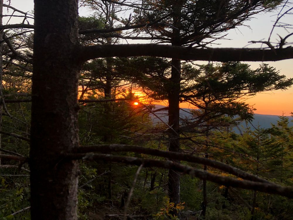
The Bald Mountain trail provides a path for visitors to access the Glastenbury Wilderness and the summit of Bald Mountain. From the Bennington side, after three fairly rugged miles and climbing several hundred feet, hikers will reach the “white rocks” (not to be confused with the White Rocks National Recreation Area 40 miles to the north). This rocky opening on the west side of Bald Mountain provides excellent views to the west.
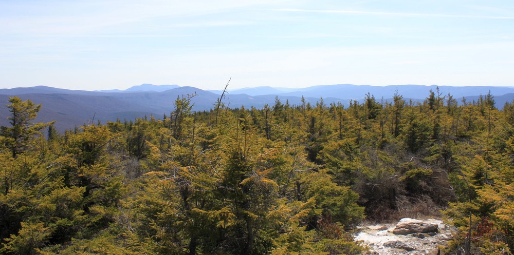
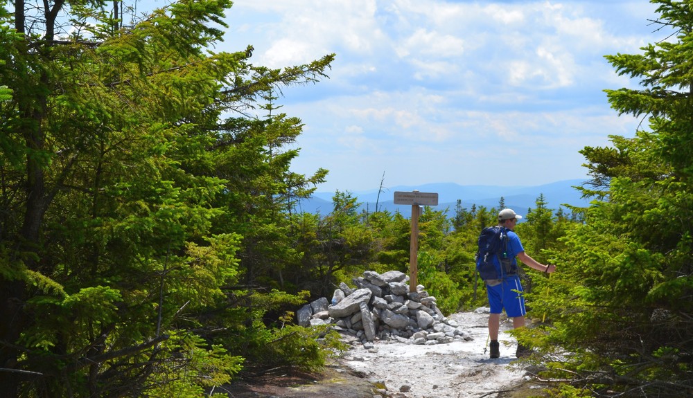
At the highest point on the Bald Mountain trail is the junction with the West Ridge Trail, which runs 7.8 miles to Glastenbury Mountain summit and has no other exit. Follow the West Ridge 0.1 mi. to the true summit of Bald, where there are limited views at a comfortable picnic spot. Return to Bald Mountain trail to descend.
Bald Mountain ends at the AT/LT at the Goddard Lean-to Shelter. Excellent views can be had at the fire tower just 0.4 mile north on the AT/LT.
Restrictions: No horses, mountain bikes or motorized vehicles
Bald Mountain - Green Mountain National Forest: including trail brochure and downloadable map.
For additional information, visit the Green Mountain National Forest website, or contact:
![]()


For the trailhead leading out of Bennington:
From Route 7, take Kocher Drive, which is just north of downtown Bennington, east. Kocher Drive runs straight into North Branch Street Extension at a light. Follow North Branch Street to the trailhead parking lot. It will be just off the east side of the street near the powerlines. Please park perpendicular to the road in the expanded parking lot to maximize space.
From Rte 9, turn north on North Branch St., which is ¾ mile east of downtown Bennington. Turn right over a bridge onto N. Branch St. Ext. Follow North Branch Street to the trailhead parking lot. It will be just off the east side of the street near the powerlines. Please park perpendicular to the road in the expanded parking lot to maximize space.
For the trailhead leading from Woodford Hollow:
From Bennington, take VT-9 for about 4.0 miles east to Harbour Road.Turn north onto Harbour Road and follow for 0.8 miles. At a concrete water tank, turn left off the road into an open area. The trailhead is found at the edge of the woods.
From the east, take VT-9 west for 1.2 miles past the Appalachian/Long Trail crossing to Harbour Road. Turn north onto Harbour Road and follow for 0.8 miles. At a concrete water tank, turn left off the road into an open area. The trailhead is found at the edge of the woods.
Success! A new password has been emailed to you.

Lots of volunteers and staff from the Green Mt. Club, Green Mt. National Forest Service, Student Conservation Association, and the Town of Bennington have helped improve this popular trail. Please consider volunteering for the Green Mt. Club Bennington Section: https://www.benningtongmc.org/