Mud season is here!Protect the trails we all love by sticking to open, dry areas. Learn more! 

Chase Brook Town Forest - Marble Hill Farm Trails

One of the primary gateways into the heart of the Mad River Riders' network, with connections to sections of the Mad River Path and Catamount Trail.
Trail Activity
Hiking Mountain biking Snowshoeing Ungroomed cross-country skiing
Length
4.10 miles, Network
Difficulty
Moderate, Advanced
Town
Fayston (VT)
Surface
Packed Earth/Dirt, Rock/Ledge, Boardwalk/Bog Bridging
Pets
Not Permitted
Fees
No

Description

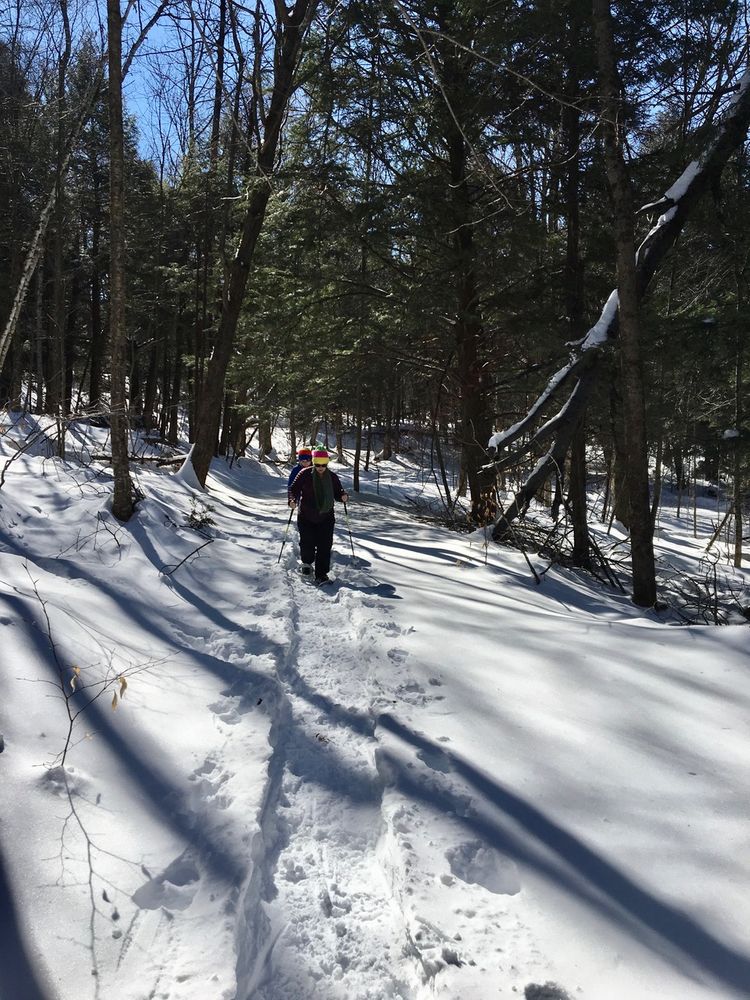
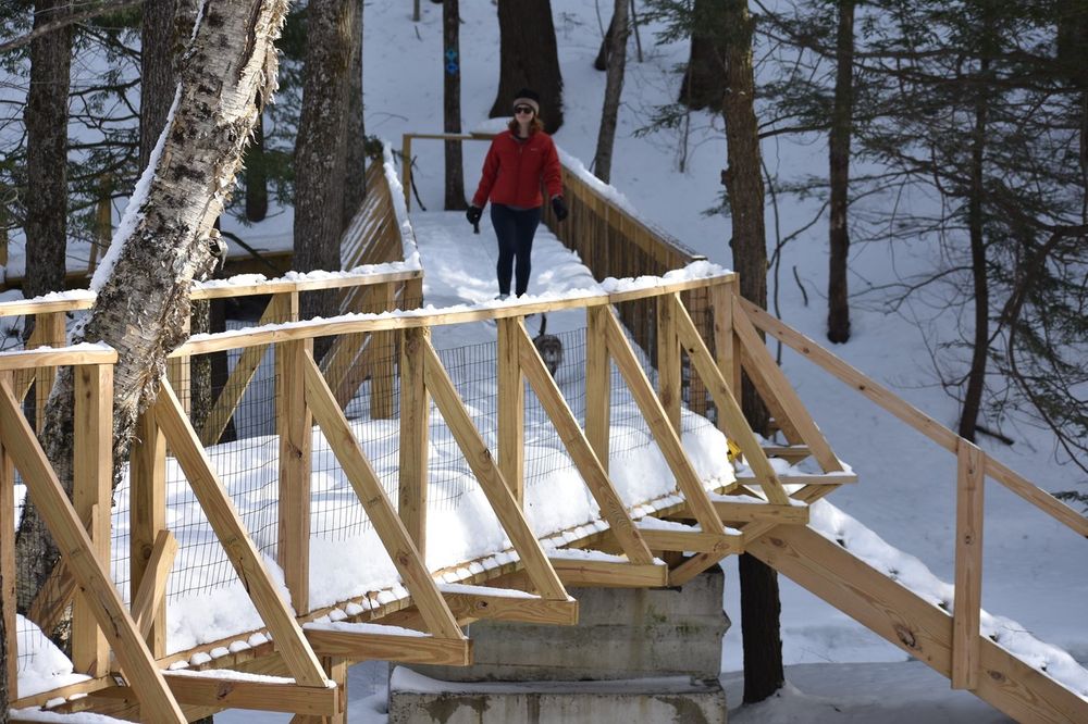
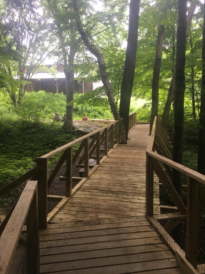
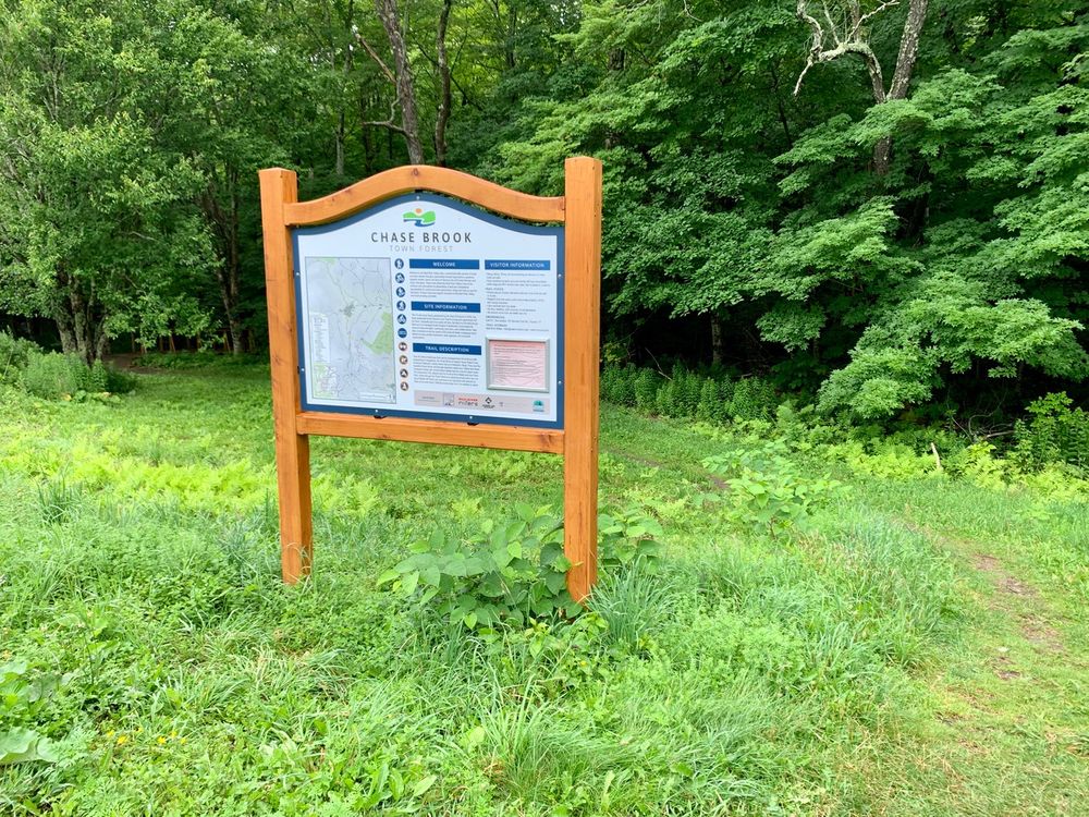
These moderate to expert trails include a portion of the Catamount trail and are great for mountain biking and hiking in the warmer months. Link directly to the Eurich Pond network via Techie or down to German Flats road near the Fayston school via Catamount. Check out the bridge and boardwalk through the trees over Chase brook.

Note that dogs are not allowed on the portions of Harris Hill Loop, Catamount, and Techie that are on Marble Hill Farm property. Be aware of posted signs. 

For specific trail descriptions, go to the Mad River Riders or check Trailforks.

Other Information

Mad River Riders Trail Rules

  • Always ride, ski, run and walk in control. Bikers yield to all pedestrian users. Skiers yield to hikers and snowshoers. Climbing traffic has the right of way. Please stop in a safe visible spot off the trail.
  • Stay off trails when the ground is soft, especially in winter and spring. Avoid leaving deep footprints and ruts. Help with maintenance. Build or change only with permission and planning with the Riders' trail crew.
  • Respect landowners, neighbors, and other visitors. Trail use is dependent on positive landowner relationships and respectful sharing.
  • Park in legal areas. 
  • Due to livestock, food production, user safety and water/habitat quality concerns, please keep pets leashed under control at all times and clean up after them. 
  • Leave no trace. Pack it in, pack it out. No camping or fires, unless otherwise permitted by the landowner. 
  • Remember to share gracefully, smile widely and appreciate often.


 This trail is part of the Mad River Valley Trails Collaborative.

The Collaborative is a watershed-wide network of lands and trails created through a partnership of local organizations, generous property owners, towns, the State of Vermont, the US Forest Service, and many volunteers. These trails reflect the Mad River Valley’s love of the outdoors and commitment to stewardship of land and recreational opportunities for current and future generations. Enjoy and help us care for this place. Click here to learn more and support recreation in the Mad River Valley.

Trail Manager

For more information, visit the Mad River Riders website.

The Mad River Riders, a founding chapter of the Vermont Mountain Bike Association (VMBA), maintain a 58+ mile network of multi-use trails throughout the Mad River Valley. Our trails are open to the public and free to use for biking, hiking, walking, running, skiing, and snowshoeing. We have something for everyone, from beginner friendly Tootsie Roll at Blueberry Lake, to the flow of Evolution, to the classic lines of Clinic and Cyclone, to the rocky challenge of Chain Gang.

Help us build more trails and maintain this awesome network; consider becoming a member or donating to the Trail Fund. Visit our website to learn more about our trails, events, rides, work days, and new projects.

Mad River Riders - Vermont Mountain Bike Association

Mad River Riders - Vermont Mountain Bike Association
1007 Rolston Rd
Waitsfield, VT 05673
Phone: 802-917-1467
hello@madriverriders.com
View website

Trail Tips

Travel on Durable Surfaces
Walk single file in the middle of the trail. Wear the right shoes and enjoy the mud – you're in the great outdoors!
Legend
Hide All

Trailhead Information

Follow VT-17 west from the VT-17/VT-100 intersection for 1.8 miles. Turn left onto German Flats Road. Follow for 0.7 miles. Park in the lot on the left at McCollough Barn, across from the Fayston Elementary School. Look for a bridge and ramps climbing the bank to access the trail.

Click on a parking icon to get custom directions
Please Log In or Create Account to add comments.
These awesome businesses support our goal of connecting people to outdoor adventures!
Hang Tight!
Nearby services are loading
No Results
No Services Found
SHARE THIS TRAIL

Add Trail Log

Please wait…
Join In on the Fun!
Log in or create an account below to unlock all the great features of Trail Finder: keep track of trails you want to do, preserve memories of trails you’ve done, earn badges, and more!
Your log in attempt was not successful. Please try again.
    Lost your password? Reset your password
    Don't yet have an account?
    There was an issue with your submission. Please try again.
      * Indicates required field
      Already have an account? Login here
      Enter your username, and we will send you a new, randomly generated password to your email account.
      There was an issue with your submission. Please try again.

        Success! A new password has been emailed to you.

        Log in now

        Please wait…