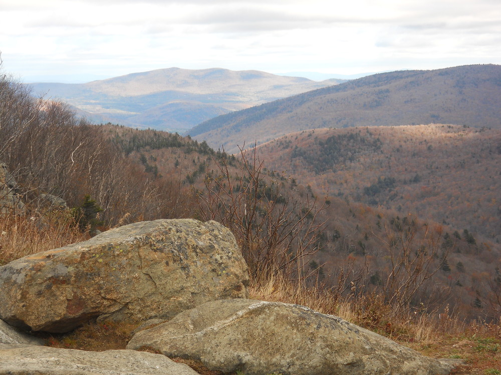
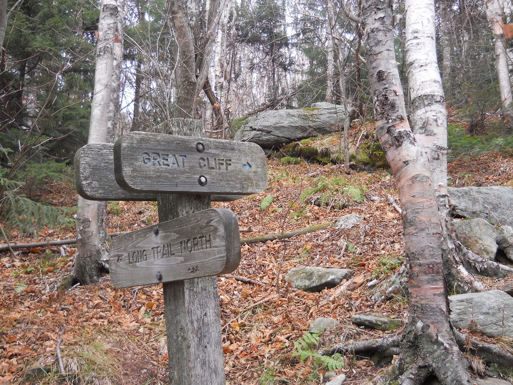
This spectacular and popular destination is reached via a short spur from the Long Trail. From Brandon Gap, follow the Long Trail north for 0.4 miles, to a blue blazed spur trail that leads 0.1 miles up a set of rock steps out to the Great Cliff. The trail is quite steep, but the excellent view at the top makes the trip worthwhile.
Note: From March to August, the cliffs may be closed to protect nesting Peregrine falcons. Watch for closure posters.
Day Hiking
Hiking Trail - Average hike time: 1-1 ½ hrs. Length: 0.7 miles one way
Max. Elevation Change: 620 feet
Difficulty Level: Intermediate to Difficult
Winter Sports: XC Skiing/Snowshoeing
No horses, mountain bikes, or motorized vehicles
Managed by : U.S. Forest Service, Eastern Region
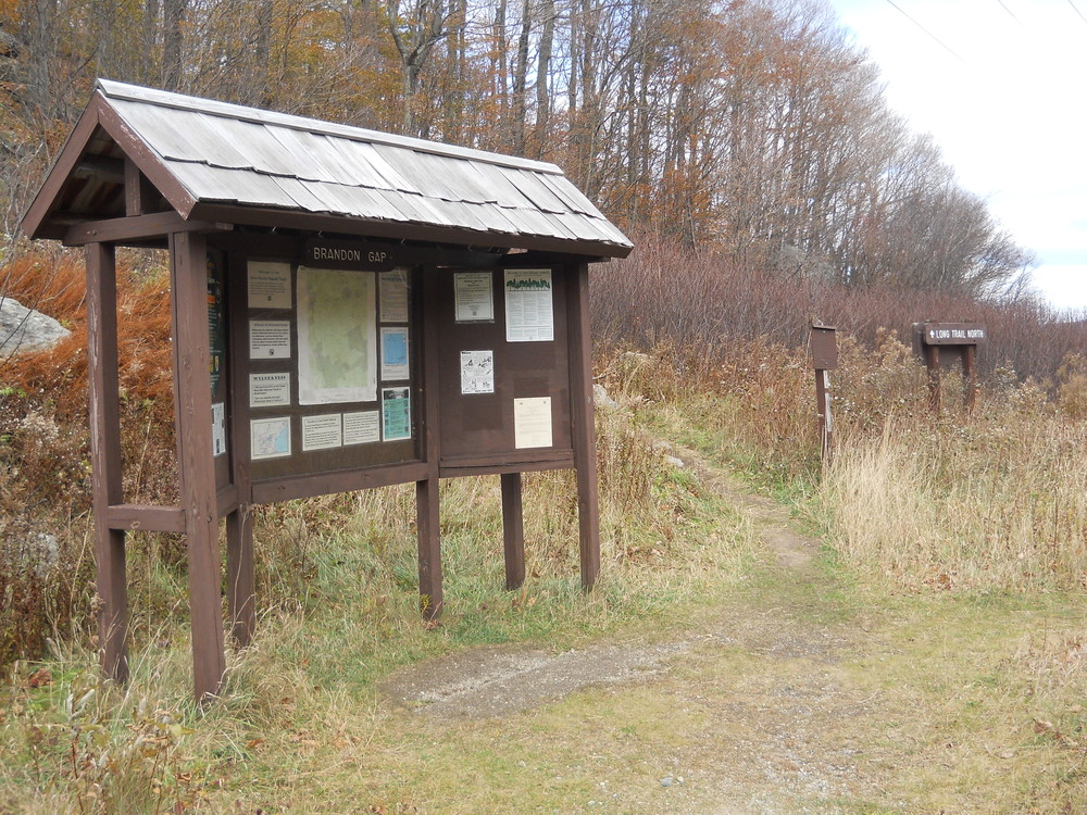
US Forest ServiceDirections to Trail head parking on south side of Route 73:
From Rochester, take Route 100 south to its junction with Route 73. Follow Route 73 west for 8.8 miles to the top of Brandon Gap. From Brandon, take Route 73 east for 7.5 miles.
The trail starts on the other side of Route 73.
Note: this lot experiences vandalism.
Success! A new password has been emailed to you.