Mud season is here!Protect the trails we all love by sticking to open, dry areas. Learn more! 

Avis P. Smart Woods

Avis P. Smart Woods is a 32 acre forest in Gilford, NH managed by the Lakes Region Conservation Trust. Previously farmland, it includes a magnificent stand of sugar maples and provides habitat for a wide range of wildlife. A loop trail of under one mile provides opportunities for peaceful walks and appreciation of nature.
Trail Activity
Walking Hiking Snowshoeing
Length
1.00 mile, Loop
Difficulty
Easy
Town
Gilford (NH)
Surface
Packed Earth/Dirt
Pets
Permitted on leash
Fees
No
Other Activities
Ungroomed cross-country skiing

Description

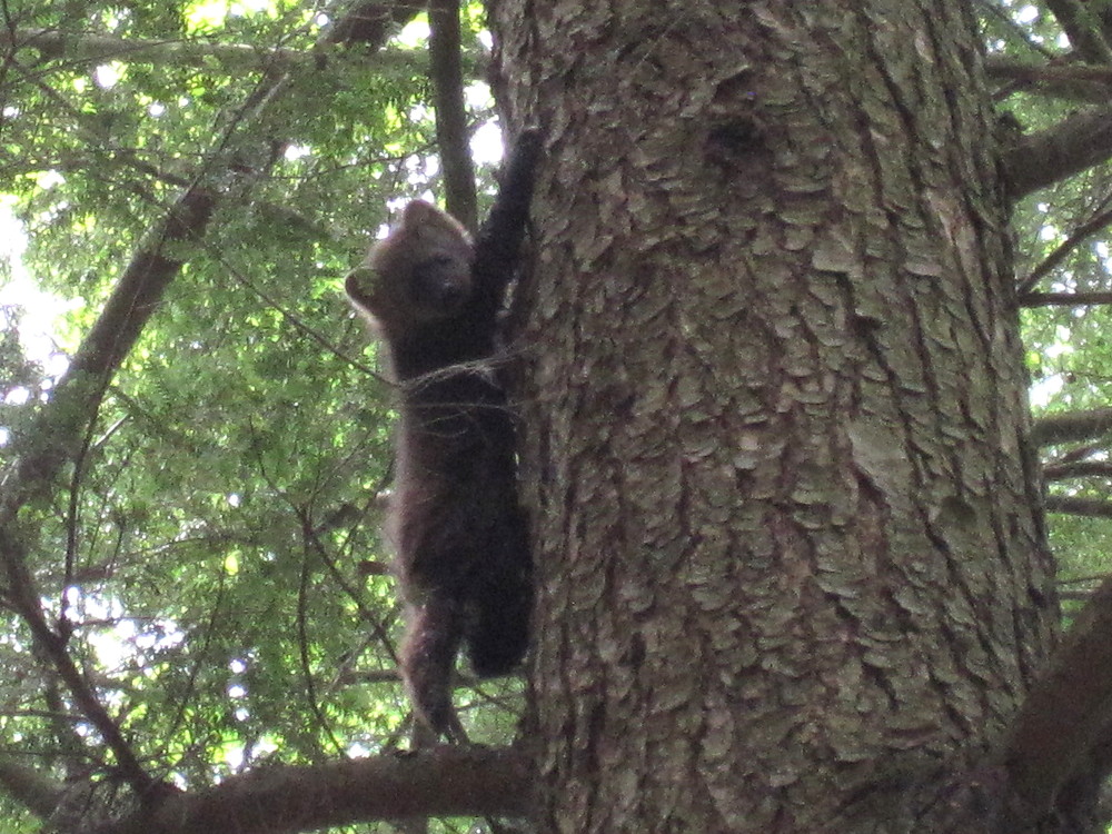
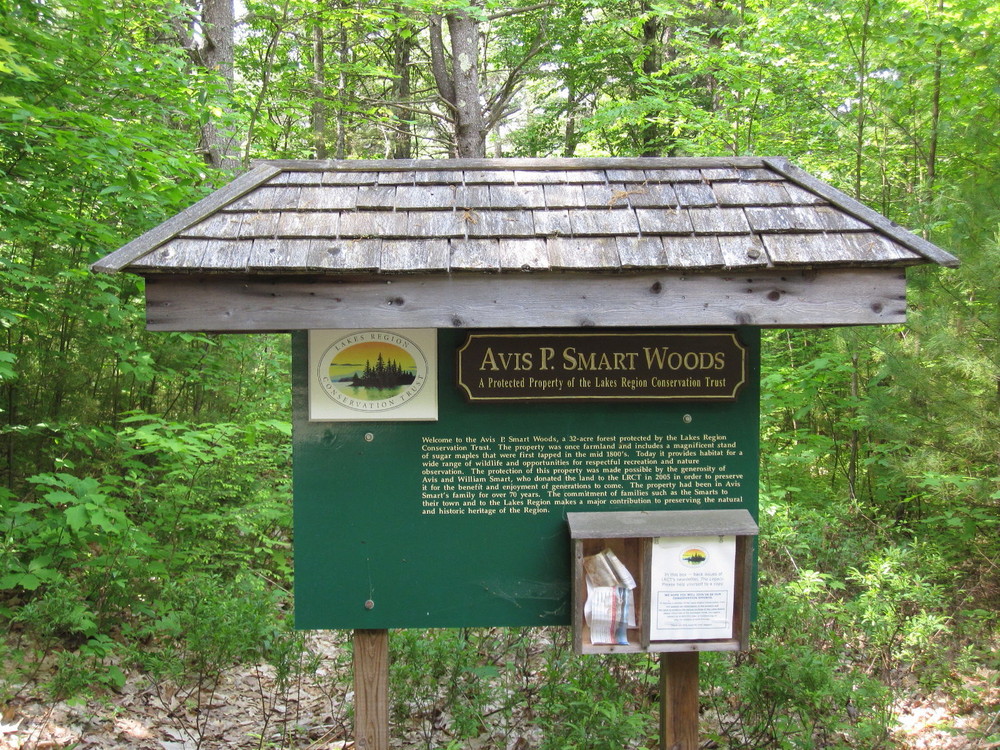
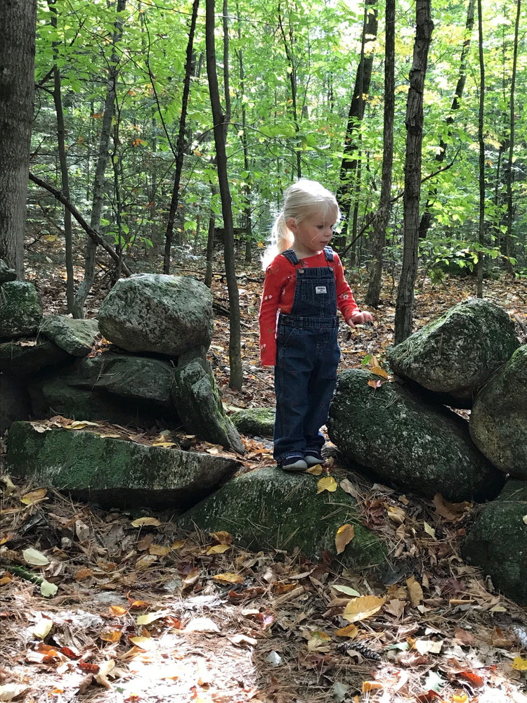
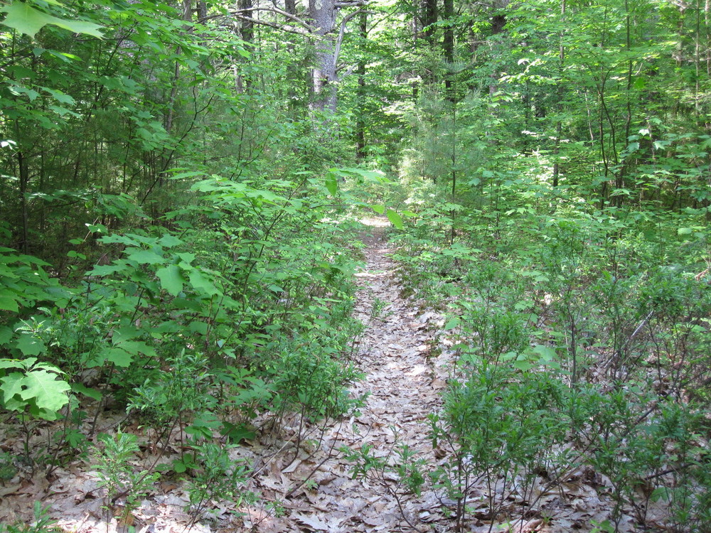
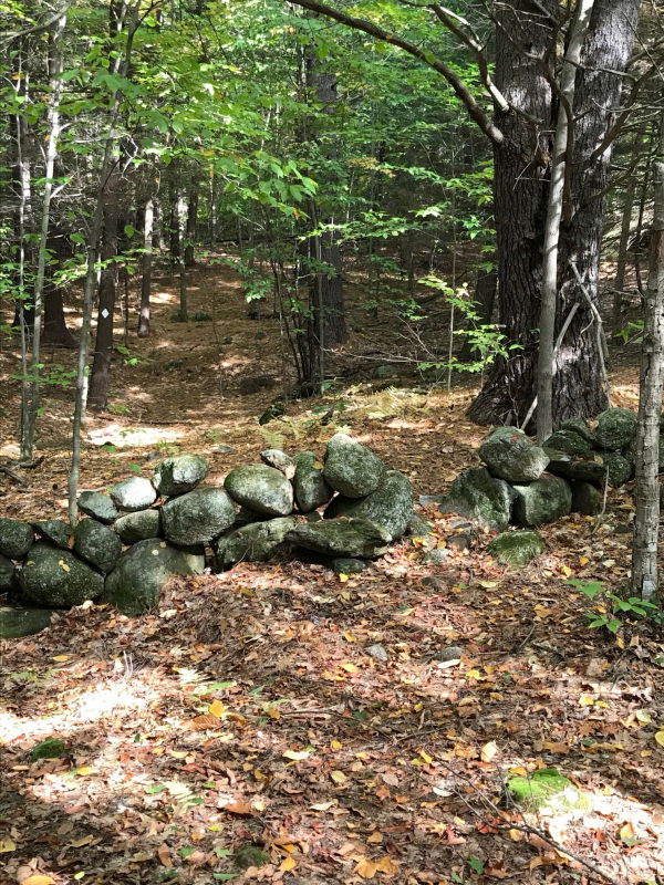
Avis P. Smart Woods is a 32-acre forest located a short distance from Gilford Village. The property was once farmland, and it includes a magnificent stand of sugar maples first tapped in the mid-1800’s. Today it provides habitat for a wide range of wildlife and opportunities for respectful recreation and nature observation. The protection of this property was made possible by the generosity of Avis and William Smart, who donated the land to LRCT in 2005 in order to preserve it for the benefit and enjoyment of generations to come. A loop trail of under a mile in length provides opportunities for peaceful walks and appreciation of nature. Look especially for wildlife in the dense coniferous forests along the loop.

Other Information

For more information on this property and others managed by the Lakes Region Conservation Trust, or to become a member, please refer to their website at lrct.org.

Trail Manager

Lakes Region Conservation Trust

Lakes Region Conservation Trust
PO Box 766

Center Harbor, NH 03226
Phone: 603-253-3301
lrct@lrct.org
View website

Trail Tips

Respect Wildlife
Keep your pets under control at all times, to protect both them and wild animals, fragile environments, and the enjoyment of other visitors.
Legend
Hide All

Trailhead Information

From Laconia and points south: Take Route 11A east towards Gilford. Continue on 11A for 1.6 miles after crossing Route 3 and turn left onto Gunstock Hill Rd. Continue on Gunstock Hill Rd for 0.7 miles and bear left onto Watson Rd. The Trail head (parking for one or two cars) is 500 feet on the left.

From Weirs Beach and points north: From Route 3 in Weirs Beach, take Route 11B south towards Glendale for 2.1 miles, then turn right onto Route 11C. In 1.7 miles Route 11C crosses Route 11 and becomes Old Lake Shore Drive. Follow Old Lake Shore Drive for 0.5 miles, then continue straight onto Watson Road when Old Lake Shore Drive turns left. The Trail head (parking for one or two cars) is 0.2 miles on the right.

Click on a parking icon to get custom directions
Please Log In or Create Account to add comments.
These awesome businesses support our goal of connecting people to outdoor adventures!
Hang Tight!
Nearby services are loading
No Results
No Services Found
SHARE THIS TRAIL

Add Trail Log

Please wait…
Join In on the Fun!
Log in or create an account below to unlock all the great features of Trail Finder: keep track of trails you want to do, preserve memories of trails you’ve done, earn badges, and more!
Your log in attempt was not successful. Please try again.
    Lost your password? Reset your password
    Don't yet have an account?
    There was an issue with your submission. Please try again.
      * Indicates required field
      Already have an account? Login here
      Enter your username, and we will send you a new, randomly generated password to your email account.
      There was an issue with your submission. Please try again.

        Success! A new password has been emailed to you.

        Log in now

        Please wait…