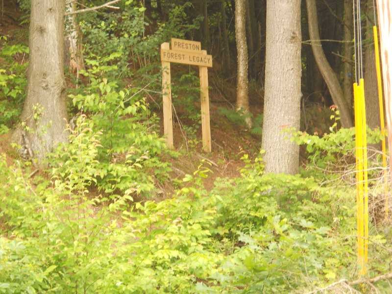
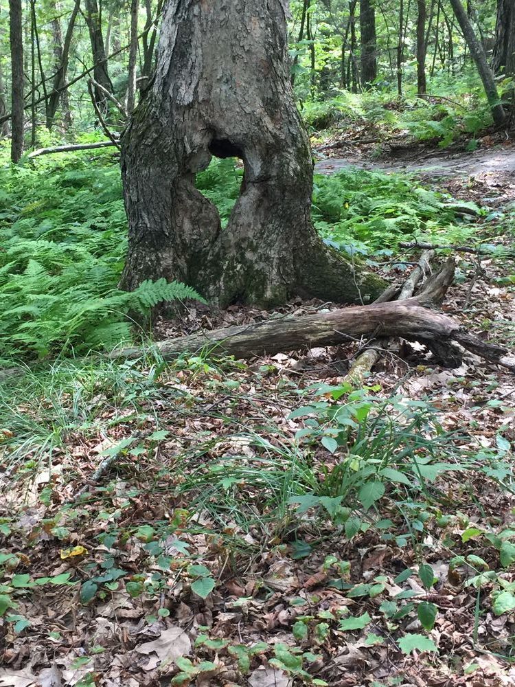
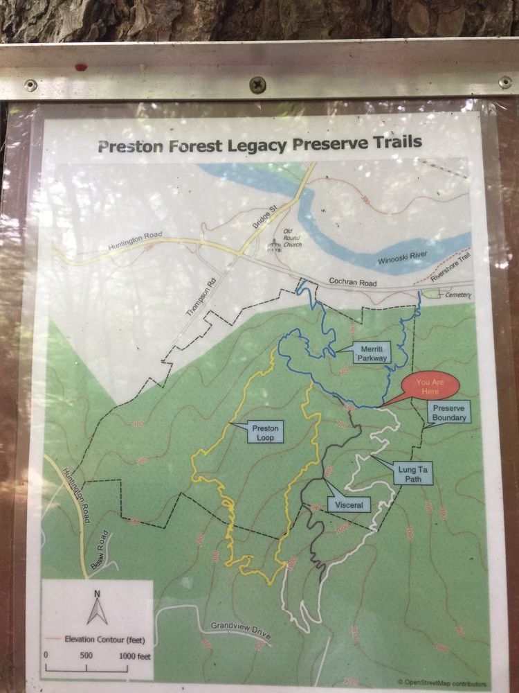
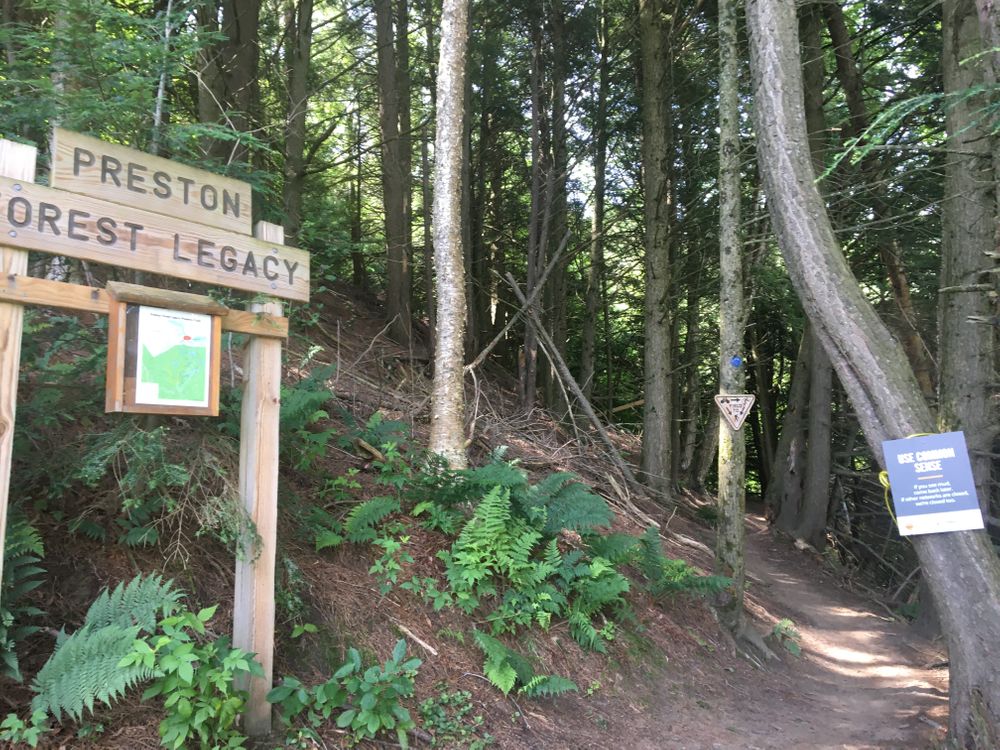
The trail is on the Preston Forest Legacy conserved land just south of Richmond's Round Church.
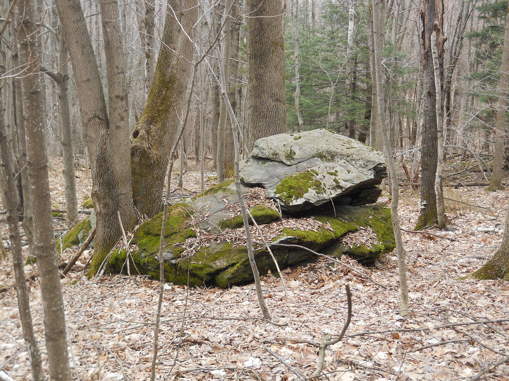
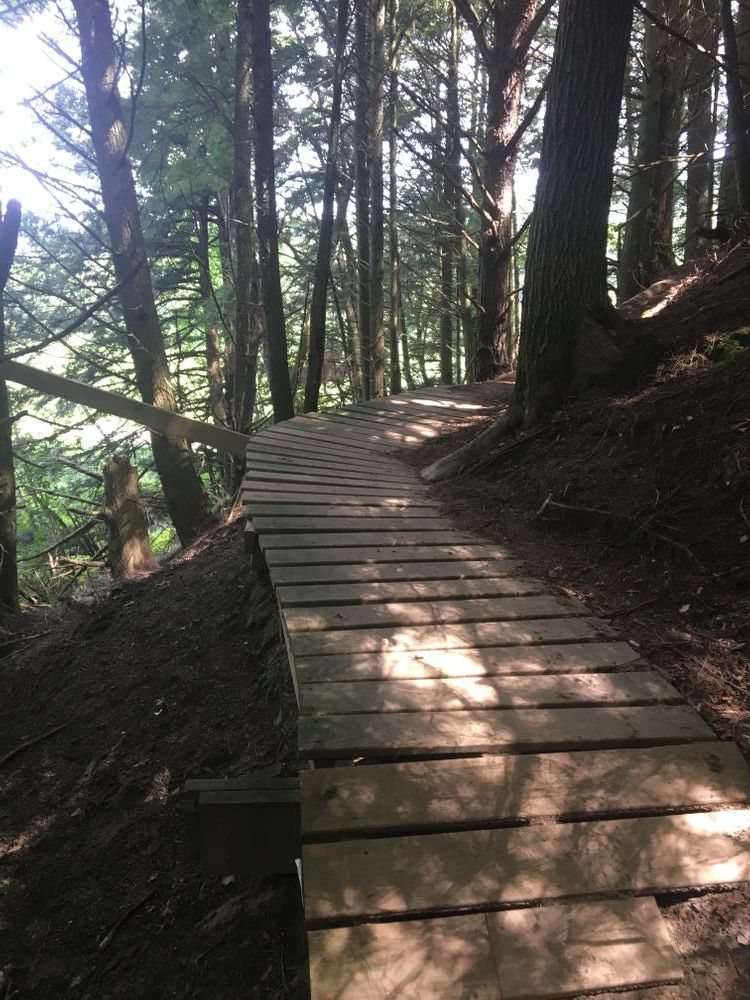
Lower Loop - aka Merritt Parkway (blue blazes): Starting from the trailhead, you climb steadily with numerous switchbacks in a generally southerly direction, reaching an altitude of 500 feet. Then the trail turns eastward and climbs more slowly to a clearing identified by a big rock at about 600 feet. Then you descend on a section again with many switchbacks eventually leaving the Preston Forest Legacy land where the trail becomes a path next to St. Mary's Cemetery for a distance of about 300 feet. Here an adjacent landowner permits only pedestrian use to reach Cochran Road opposite the trailhead for the Rivershore Trail. Go back westward on Cochran Road to complete the loop.
Upper Loop - aka Preston Loop (yellow blazes): At two points on the upper section of the Lower Loop you can branch off uphill to reach an altitude of about 1000 feet. Note: this trail passes through land of two adjacent landowners whose permission stipulates that you stay on the marked trail (as indicated by signs as you enter these properties).
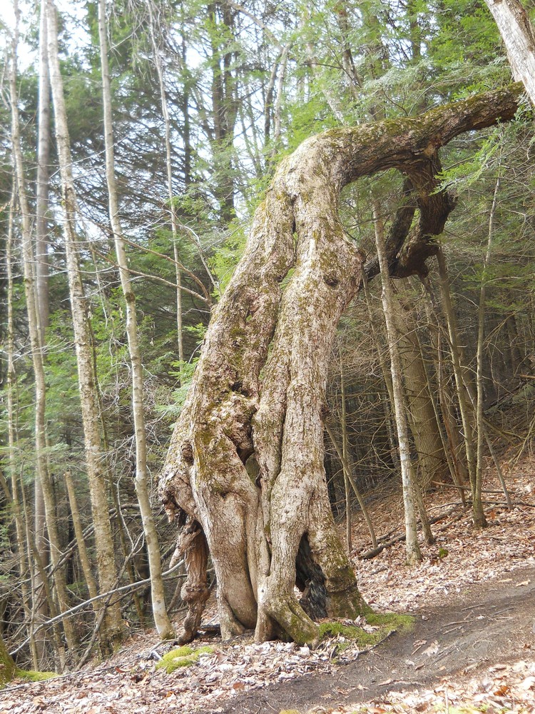
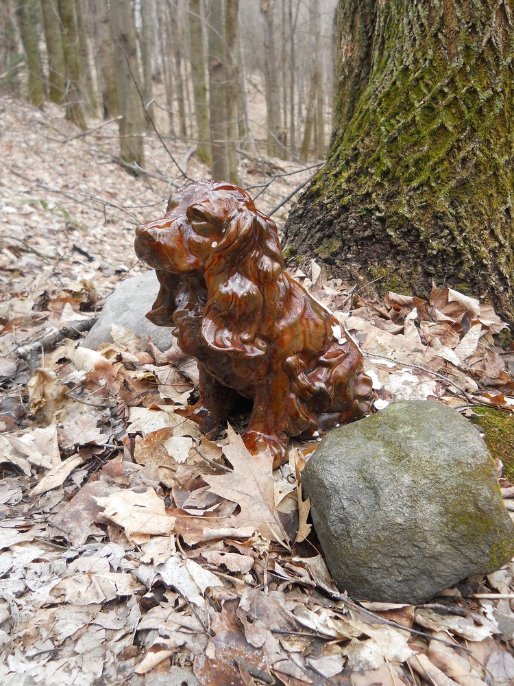
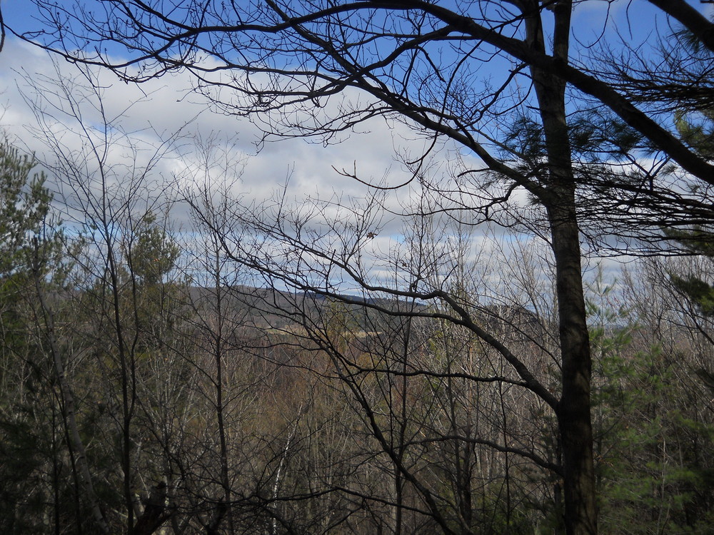
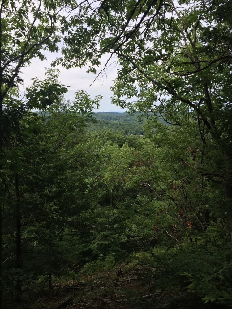
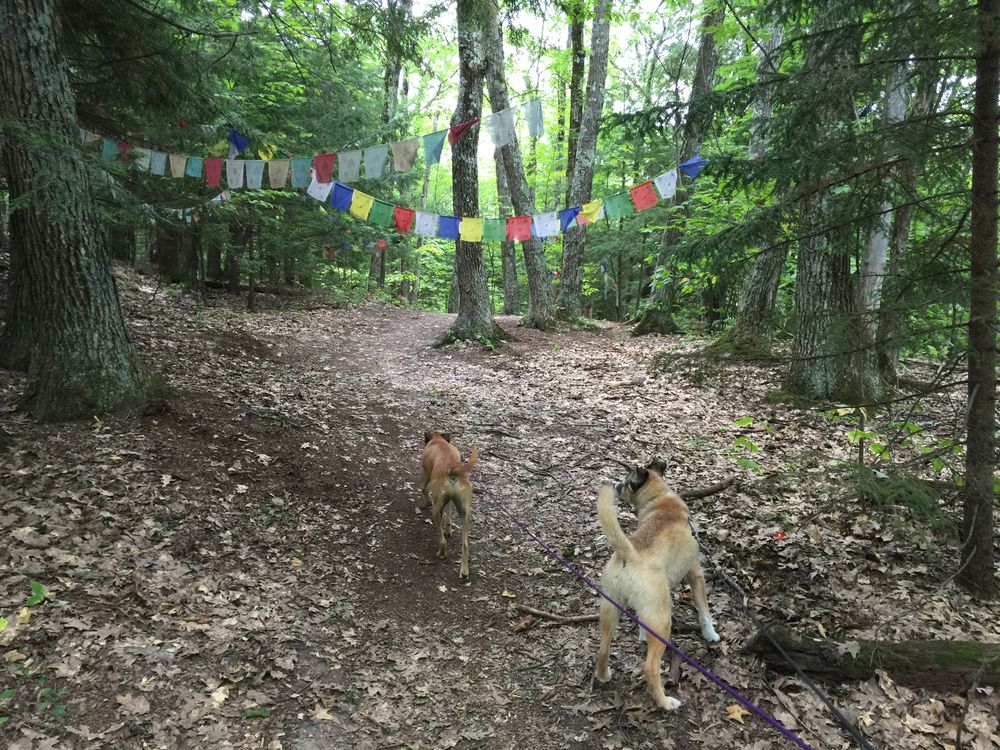
Lung Ta Path (white blazes): From a high point on the Merritt Parkway above the orchard clearing, this trail follows a ridge to a rocky outcrop facing north across the Winooski Valley. From there you cross on to adjacent private land (with permission, providing you stay on the trail). The trail levels out past a series of prayer flags and then switchbacks down with occasional views across to Owl’s Head to join the Preston Loop near the ‘dog’ intersection.
Land conserved by VT Forests, Parks and Recreation
Visit Town of Richmond online for more information or contact:
Richmond Trails CommitteeThe trailhead is on Cochran Road, about 0.2 miles from the intersection with Huntington Road at Richmond's famous Round Church. Look for a utility pole and a road sign "Share the Road."
Parking is available across the river at Volunteers' Green.
Success! A new password has been emailed to you.